city2graph
Transform geospatial relations into graphs for Graph Neural Networks and spatial network analysis
- 2k
- Python
- BSD-3-Clause
- 2 d ago
Transform geospatial relations into graphs for Graph Neural Networks and spatial network analysis
Download, model, analyze, and visualize street networks and other geospatial features from OpenStreetMap.
Ever® Demand™ - Open Commerce Platform - https://everdemand.co
Gallery of OSMnx tutorials, usage examples, and feature demonstrations.
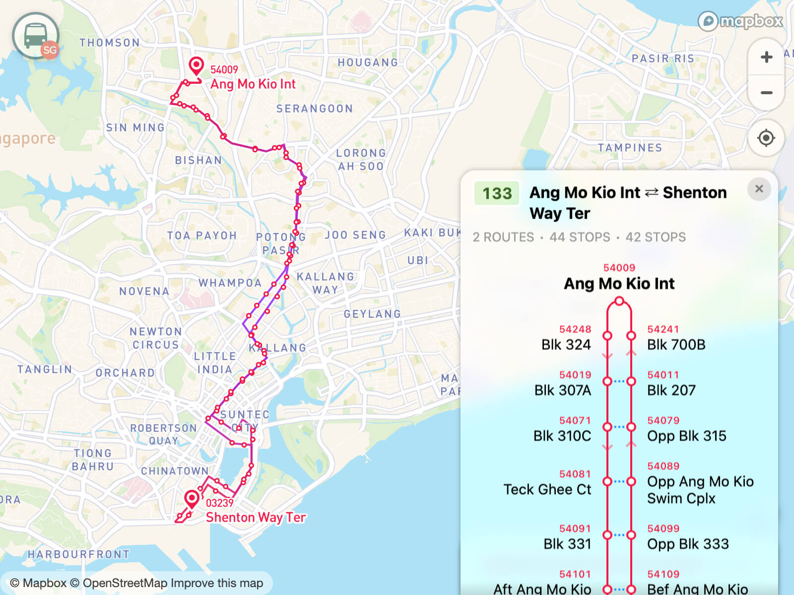
A Python package develop for transportation spatio-temporal big data processing, analysis and visualization.
The Complete Street Rule for ArcGIS CityEngine is a scenario oriented design tool intended to enable users to quickly create procedurally generated multimodal streets.
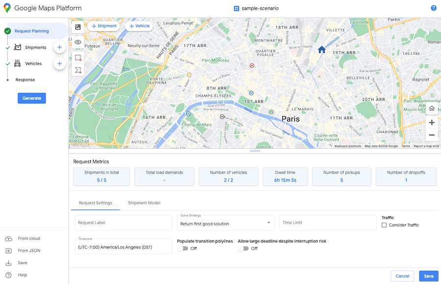
Solve vehicle routing problems with Google Maps Platform Route Optimization
Convert Shapefile to the Network and find number of shortest paths
🚗 RidePool-STRPS – a smart 🚀 ride-pooling system ✨ with 📍 real-time GPS tracking, 🤝 intelligent ride matching & pooling, 👥 multi-role dashboards (Rider/Driver/Admin 📊), ⚡ Socket.IO live updates 🔄, 🔐 JWT authentication, and 📈 admin analytics for efficient transportation management 🧩.
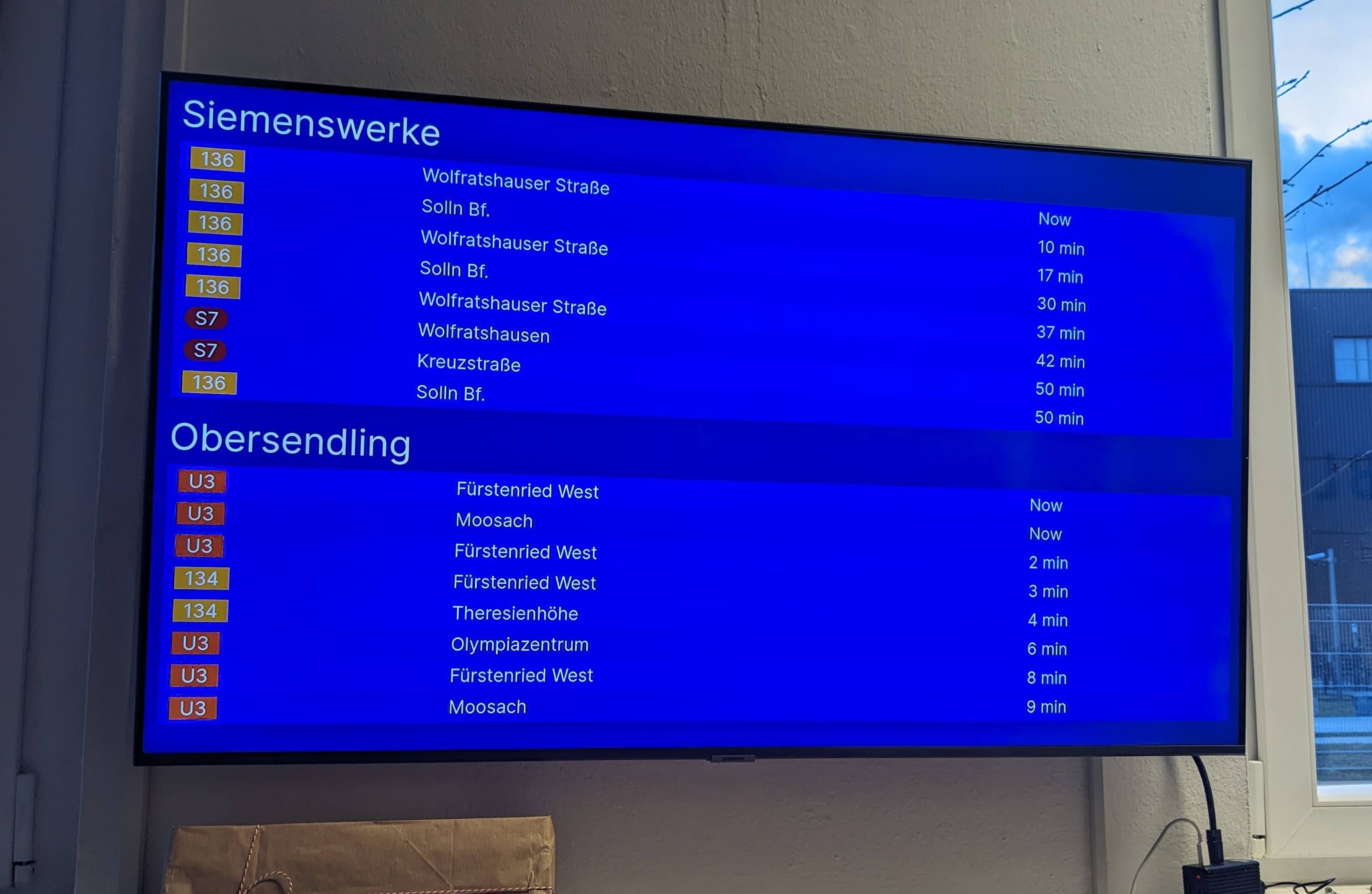
A simple infoscreen for the Munich public transport system (MVG).
菲邦国际物流官网 https://www.phibong.com |深圳到菲律宾专线物流:海运、空运 DDP 双清包税到门,马尼拉包派。电话 18665996202