gods-eye-view
God's Eye View: a spy satellite simulator in your browser, except the data is real. Live open source spatial intelligence on a photorealistic 3D globe. Official site: godseyeview.ai
- 66k
- JavaScript
- 10 h ago
Heritage archives of the first-ever Open Source GIS: Map Overlay and Statistical System (MOSS), containing its original codebase and help documentation.
Repo OSGeo/MOSS, read from GitHub 45 min ago. OSGeo has not joined Take My Repo.
OSGeo/MOSS is a public repo on GitHub by OSGeo. Heritage archives of the first-ever Open Source GIS: Map Overlay and Statistical System (MOSS), containing its original codebase and help documentation. It declares the Unlicense license on GitHub. It is written mainly in Fortran, has 19 stars and last changed on 2026-01-06. Nobody has reviewed it on Take My Repo yet, which says nothing about its quality. Read from GitHub on 2026-11-22.
OSGeo/MOSS is a public repo on GitHub by OSGeo. Heritage archives of the first-ever Open Source GIS: Map Overlay and Statistical System (MOSS), containing its original codebase and help documentation.
It declares the Unlicense license on GitHub.
Its maker tagged it for Windows. That is declared by the maker; Take My Repo has not tested it.
Open "Take it" on its page: Take My Repo writes an install plan for your machine and hands it to your AI agent (Claude Code, Codex or Cursor), which asks you before each step. Take My Repo has not tested it on any machine.
Its last change on GitHub was on 2026-01-06. GitHub counts 1 open issue and pull requests. Take My Repo does not judge from that whether it is maintained.
Nobody has reviewed it on Take My Repo yet, which says nothing about its quality.
God's Eye View: a spy satellite simulator in your browser, except the data is real. Live open source spatial intelligence on a photorealistic 3D globe. Official site: godseyeview.ai
Your self hosted YouTube media server
Redisson: Valkey & Redis Java Client and Real-Time Data Platform. Sync/Async/RxJava/Reactive API. Extends Valkey and Redis with over 60 objects and services: Set, Multimap, SortedSet, Map, List, Queue, Deque, Semaphore, Lock, AtomicLong, Map Reduce, Bloom filter, Spring, Tomcat, Scheduler, JCache API, Hibernate, RPC, local cache..
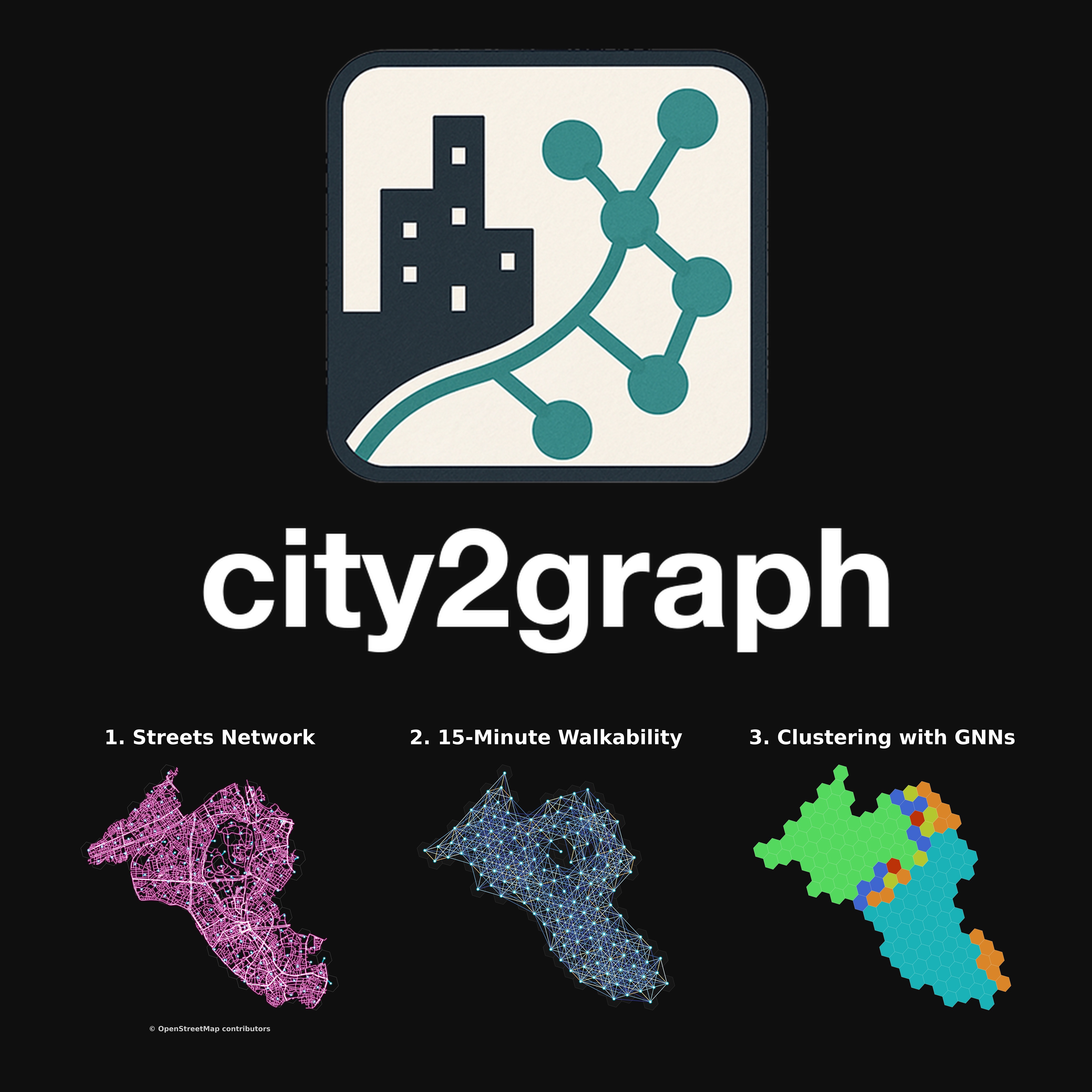
[FOSS4G 2026] Hands-on workshop for applying Graph Neural Networks (GNNs) to geospatial data.
An open-source JavaScript library for world-class 3D globes and maps :earth_americas:
GDAL is an open source MIT licensed translator library for raster and vector geospatial data formats.
The Open Source Geospatial Foundation is not-for-profit organization to empower everyone with open source geospatial. Directly supports projects as an outreach and advocacy organization providing financial, organizational and legal support. Works with our sponsors and partners for open software, standards, data, research and education.
Mac homebrew tap for maintaining a stable work environment for the OSGeo.org geospatial toolset