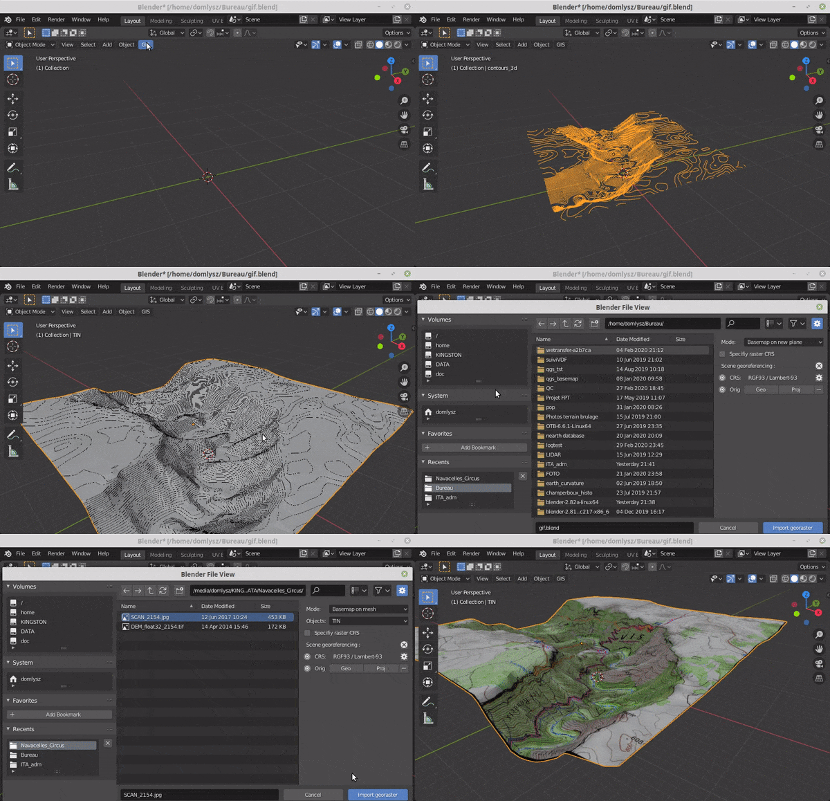
BlenderGIS
Blender addons to make the bridge between Blender and geographic data
- 9.7k
- Python
- GPL-3.0
- 11 mo ago
Blender addons to make the bridge between Blender and geographic data
LIGGGHTS-INL is a capability-extended adaptation of the LIGGGHTS Open Source Discrete Element Method (DEM) Particle Simulation Software based on LIGGGHTS release version 4.0.0.
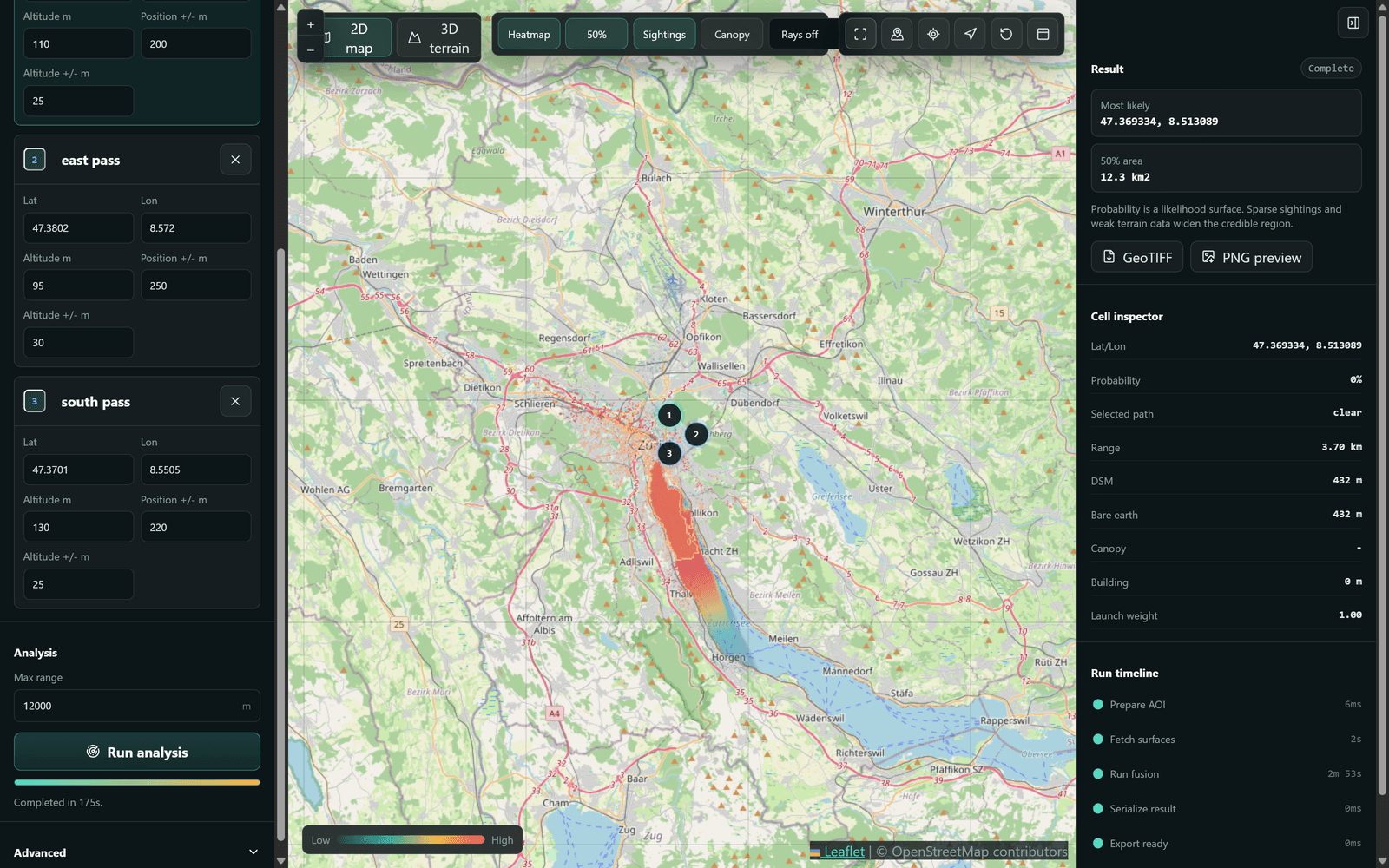
Estimate a drone operator's location from ground-position sightings via Monte-Carlo viewshed intersection on real terrain.