procedural-art
Real mountains, glass and paintings made with code and real elevation data. No image model. Two Claude skills.
- 21
- Python
- Apache-2.0
- 6 d ago
Real mountains, glass and paintings made with code and real elevation data. No image model. Two Claude skills.
Touch Terrain: A python app to create 3D printable terrain models (STL/OBJ) from only elevation data (via Google Earth Engine) or from a local geotiff. Has been used for CNC terrain models. Runs as a web app (http://touchterrain.org), as .py file (standalone.py) or as jupyter notebook. Docker image: https://github.com/ChHarding/TouchTerrain_jupyter_docker
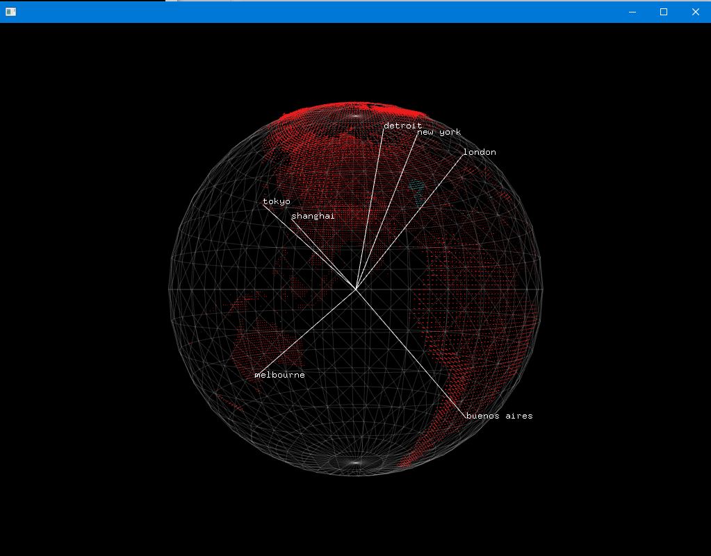
An application built with openFrameworks C++ toolkit for drawing Earth based on actual elevation data.