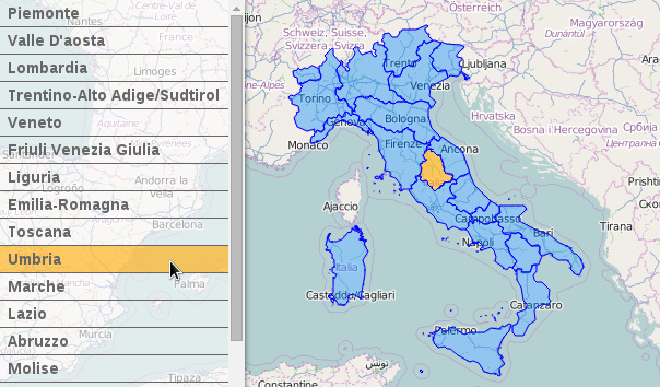
geojson



L7
🌎 Large-scale WebGL-powered Geospatial Data Visualization analysis engine.
- 4.1k
- TypeScript
- MIT
- 9 d ago


geojson.io
A quick, simple tool for creating, viewing, and sharing spatial data
- 2.3k
- TypeScript
- ISC
- 3 mo ago

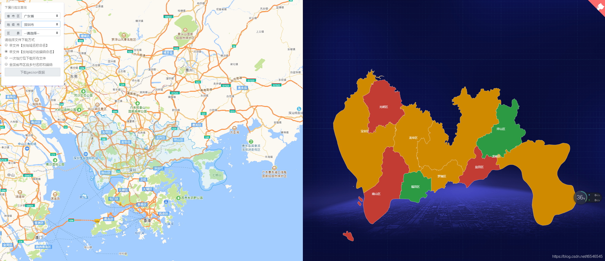
echarts-map-demo
适用于echarts、QGIS等地图geoJson行政区划边界数据的实时获取与应用,json格式数据,全国省市区县多级联动下钻,真正意义的下钻至县级【附最新全国省市区县乡镇三级或四级城市geoJson文件下载,另可下载四级联动或五级(村级)行政编码对应关系】
- 2.2k
- Vue
- 2 wk ago


umap
uMap lets you create maps with OpenStreetMap layers in a minute and embed them in your site.
- 1.6k
- JavaScript
- 12 d ago



GPXSee
GPS log file viewer and analyzer with support for GPX, TCX, KML, FIT, IGC, NMEA, SLF, SML, LOC, GPI, GeoJSON and OziExplorer files.
- 1.3k
- C++
- GPL-3.0
- 7 d ago

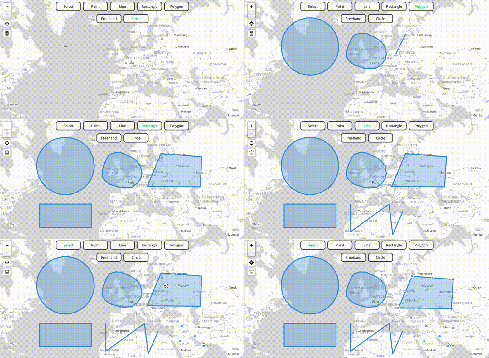
terra-draw
A library for drawing on maps that supports Mapbox, MapLibre, Google Maps, OpenLayers and Leaflet out the box
- 1.1k
- TypeScript
- MIT
- 3 d ago

django-rest-framework-gis
Geographic add-ons for Django REST Framework. Maintained by the OpenWISP Project.
- 1.1k
- Python
- MIT
- 9 h ago


go-geom
Package geom implements efficient geometry types for geospatial applications.
- 987
- Go
- BSD-2-Clause
- 5 wk ago


Leaflet.VectorGrid
Display gridded vector data (sliced GeoJSON or protobuf vector tiles) in Leaflet 1.0.0
- 676
- JavaScript
- 23 mo ago


polybooljs
Boolean operations on polygons (union, intersection, difference, xor)
- 619
- JavaScript
- MIT
- 3 y ago

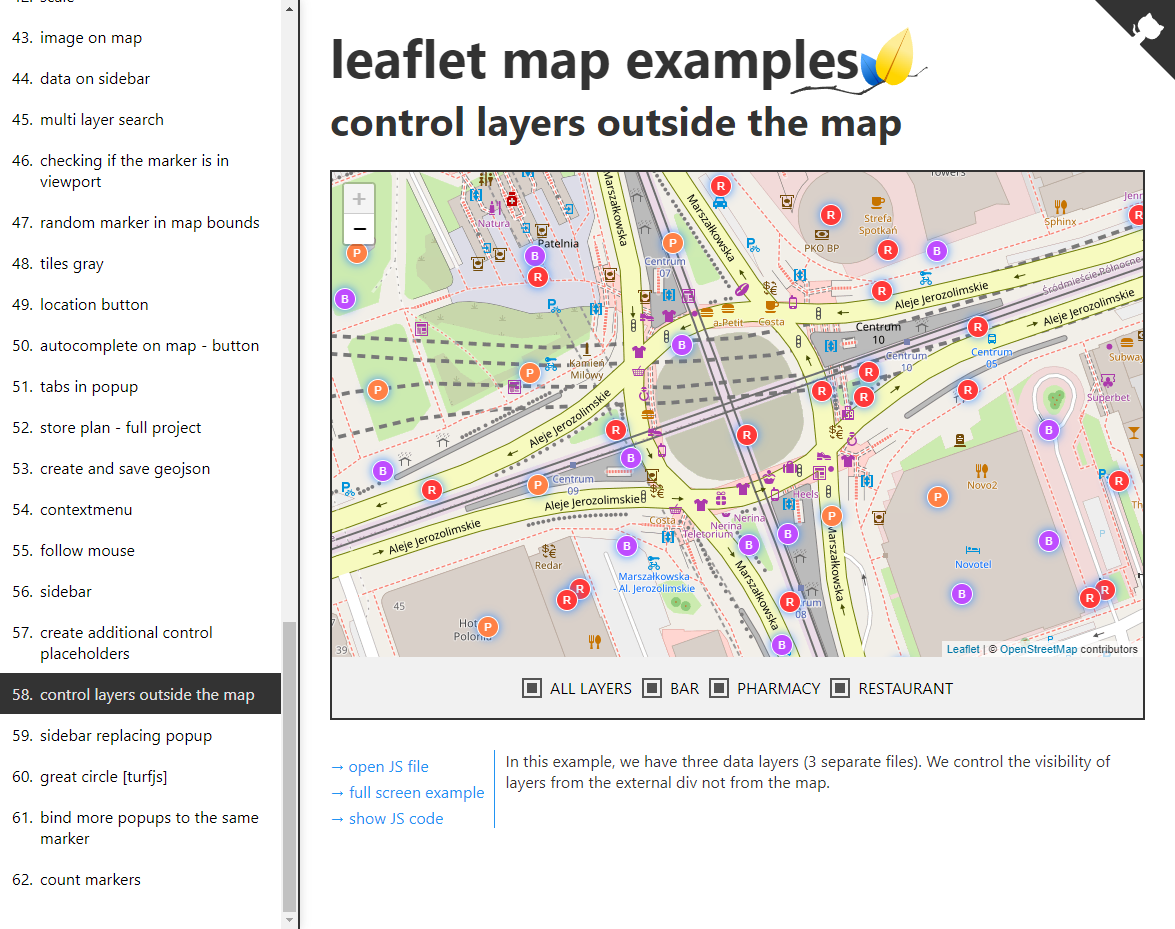

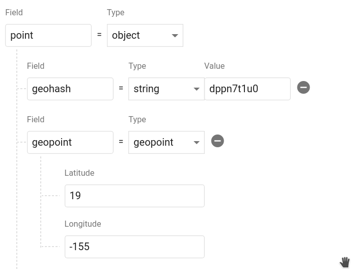
geofirex
:globe_with_meridians: :round_pushpin: Geolocation Queries with Firestore & RxJS
- 476
- TypeScript
- 4 y ago


mapbox-java
The Mapbox Java SDK – Java wrappers around Mapbox APIs and other location data
- 439
- Java
- MIT
- 5 wk ago
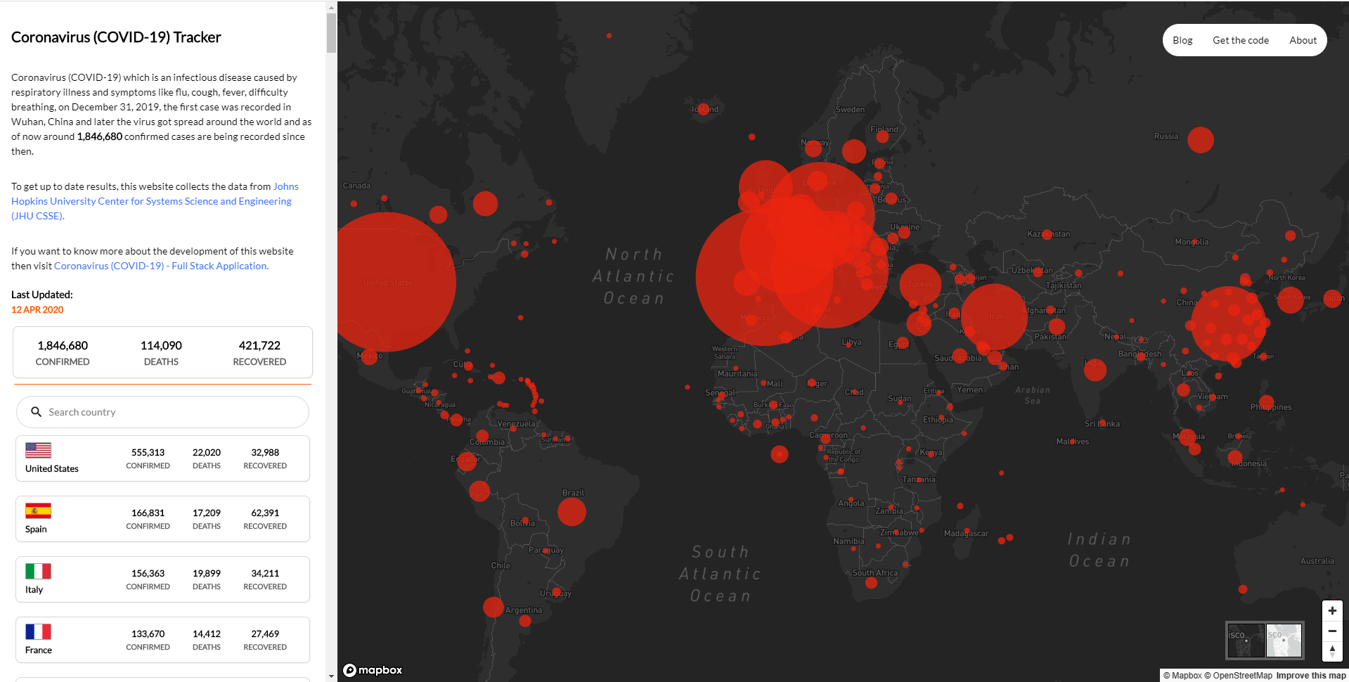
covid19-full-stack-application
Coronavirus - (COVID-19) Full Stack Application
- 351
- JavaScript
- MIT
- 4 y ago

geolens
Self-hosted geospatial data catalog with semantic search (pgvector), OGC/STAC APIs, and map builder. Built on FastAPI, PostGIS, React, and MapLibre.
- 305
- Python
- Apache-2.0
- 3 d ago


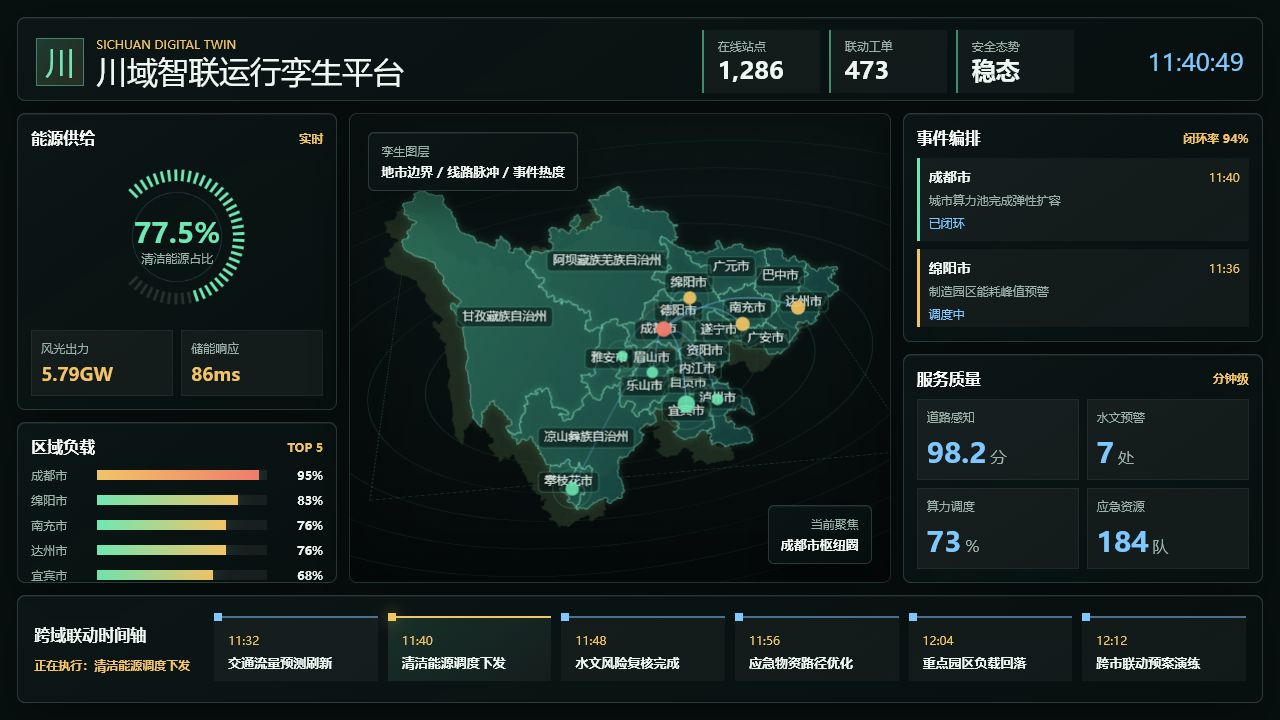
sichuan-digital-twin-dashboard
A lightweight Sichuan digital twin operation dashboard with Canvas map rendering, realtime simulation and bilingual documentation.
- 204
- JavaScript
- MIT
- 5 mo ago

AGStoShapefile
Convert ArcGIS Server Dynamic Map Service to GeoJSON and Shapefile
- 215
- JavaScript
- MIT
- 8 y ago

leaflet-maps-with-google-sheets
Customize Leaflet maps with a linked Google Sheets template and GeoJSON data on GitHub
- 169
- JavaScript
- MIT
- 4 wk ago

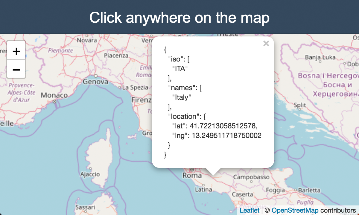
country-iso
🗺 Get the ISO 3166-1 alpha-3 country code from geographic coordinates.
- 145
- JavaScript
- MIT
- 9 y ago
historic-country-borders-app
Visualize country borders from different times in history (2000 BC-1994)
- 167
- TypeScript
- 3 d ago