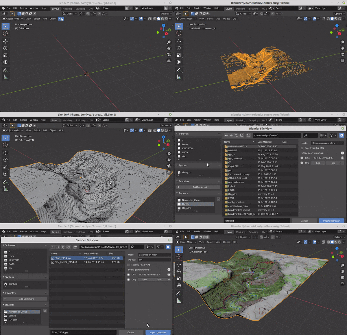
BlenderGIS
Blender addons to make the bridge between Blender and geographic data
- 9.7k
- Python
- GPL-3.0
- 11 mo ago
Blender addons to make the bridge between Blender and geographic data
Detect objects in drone videos and plot them on a map
🚀 Extract and analyze high-accuracy georeferenced vehicle trajectories from bird's-eye-view aerial video using computer vision and deep learning, for scalable urban traffic analysis.
Dictate, transcribe, and generate speech with your own AI models—free and open source for Windows and macOS.