geemap
A Python package for interactive geospatial analysis and visualization with Google Earth Engine.
- 4.1k
- Python
- MIT
- 8 d ago
A Python package for interactive geospatial analysis and visualization with Google Earth Engine.
A curated list of resources focused on Machine Learning in Geospatial Data Science.
Open-source Jupyter Notebooks and Python tools for geospatial analysis with Digital Earth Australia, Open Data Cube, and Xarray
Command-line runner for Google Earth Engine Playground scripts
Remote sensing tools for high-resolution mapping of the intertidal zone
Example JavaScript source code for ArcGIS imagery apps (Landsat Explorer and Sentinel Explorer) that you can expand or customize.
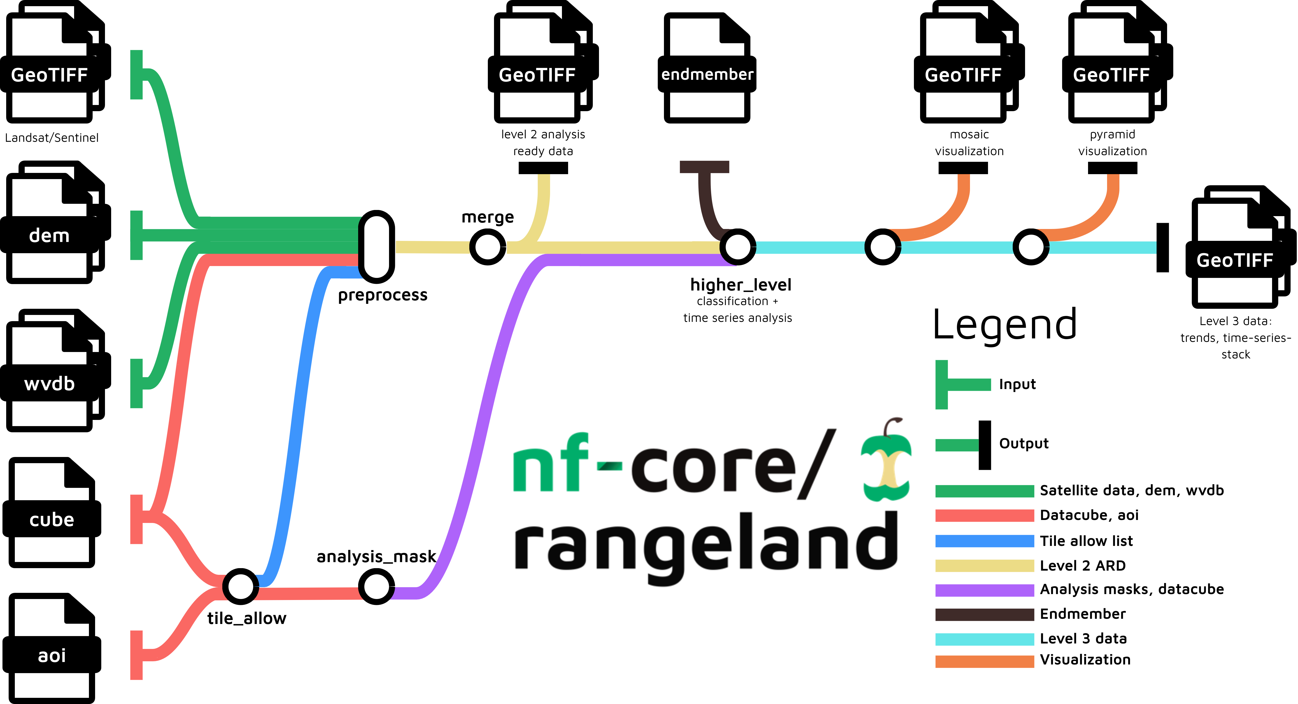
Pipeline for remotely sensed imagery. The pipeline processes satellite imagery alongside auxiliary data in multiple steps to arrive at a set of trend files related to land-cover changes.
Robotic Exploration of the Solar System using NASA's JPL SPICE Toolkit and Remote Sensing with LandSat 8 data
An end-to-end geospatial machine learning pipeline predicting urban heat island intensity using Landsat 8/9 satellite imagery and simulating cooling interventions.