dstl-satellite-waterways
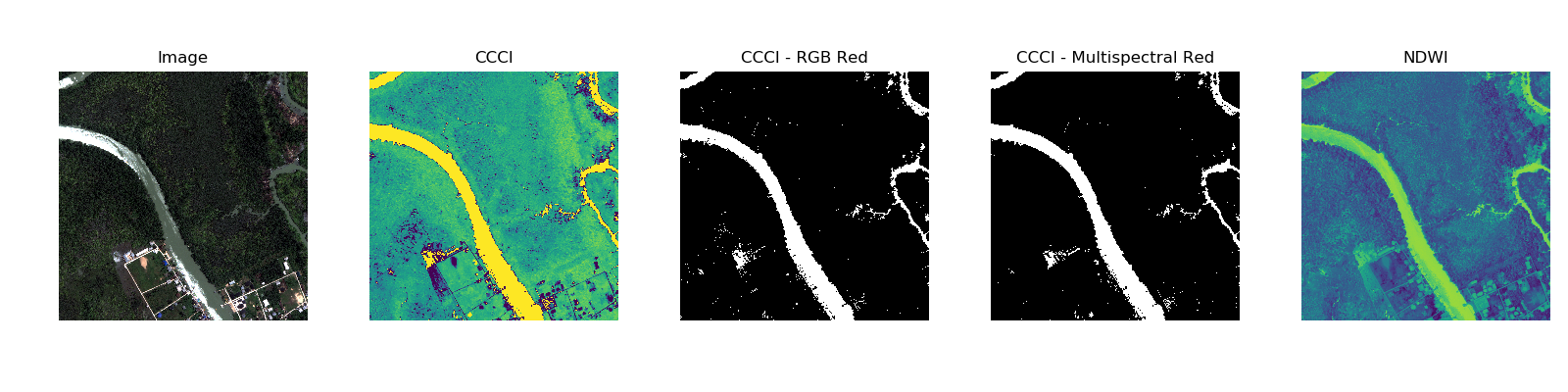
Using various indices such as NDVI, CCCI, and NDWI to identify waterways in satellite images
- 8
- Python
- Apache-2.0
- 9 y ago
Using various indices such as NDVI, CCCI, and NDWI to identify waterways in satellite images
Counts fruit, maps crop stress and forecasts yield for orchards, from drone orthophotos, Sentinel-2 scenes and field photos.
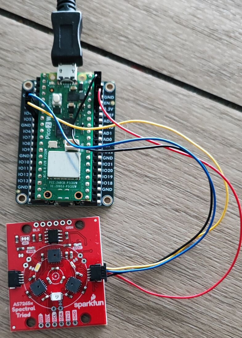
Flutter mobile application for 18-channel spectroscopy. It uses Bluetooth Low Energy (BLE) to communicate with a Raspberry Pi Pico 2W connected to an AS7265x spectral sensor