netcdf

GeoSlicer
Open source digital rocks software platform for micro-CT, CT, thin sections and borehole image analysis. Includes tools for: annotation, AI, HPC, porous media flow simulation, porosity analysis, permeability analysis and much more.
- 99
- Python
- Apache-2.0
- 10 h ago

Ocean-Data-Map-Project
The Ocean Navigator is an online tool that is used to help visualise scientific research data. a users guide is available at https://dfo-ocean-navigator.github.io/Ocean-Navigator-Manual/ and the tool is live at
- 57
- Python
- GPL-3.0
- 15 h ago


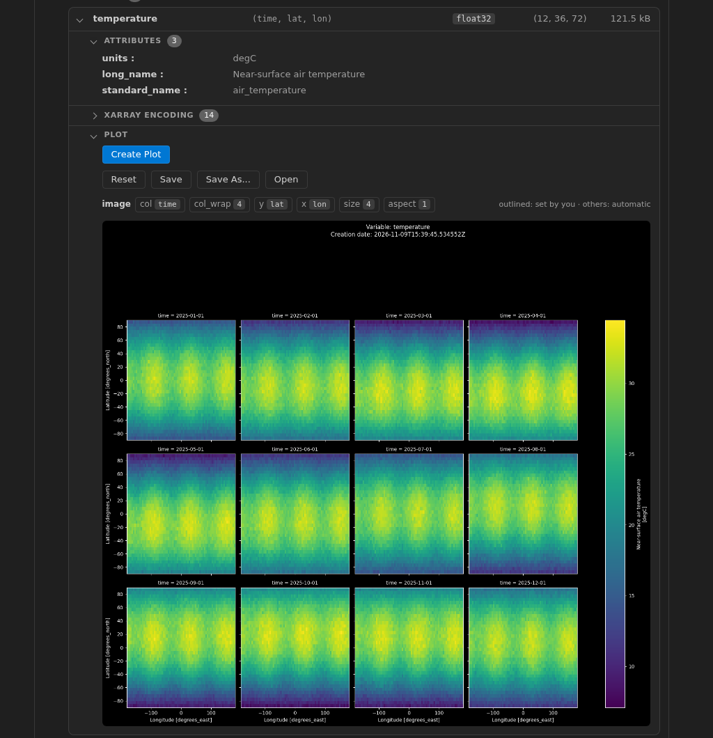
scientific-data-viewer
VSCode Extension to explore the metadata of scientific data files
- 26
- TypeScript
- MIT
- 8 h ago

stitchee
NASA Harmony service that concatenates netCDF4 data files along an existing dimension
- 10
- Python
- Apache-2.0
- 5 d ago