iris
A powerful, format-agnostic, and community-driven Python package for analysing and visualising Earth science data
- 730
- Python
- BSD-3-Clause
- 13 d ago
A powerful, format-agnostic, and community-driven Python package for analysing and visualising Earth science data
The Ocean Navigator is an online tool that is used to help visualise scientific research data. a users guide is available at https://dfo-ocean-navigator.github.io/Ocean-Navigator-Manual/ and the tool is live at
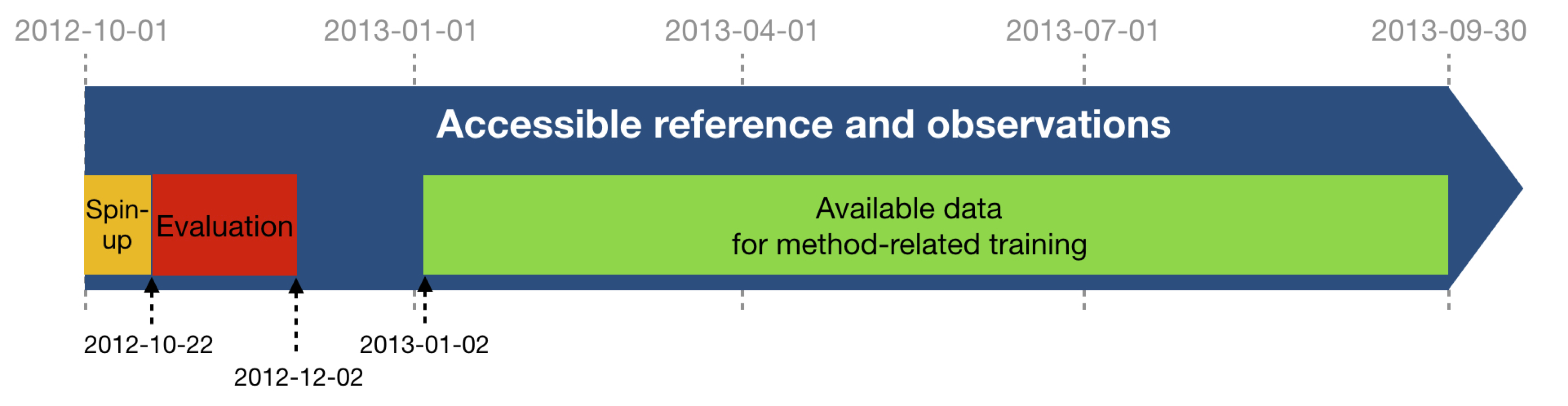
A challenge on the mapping of satellite altimeter sea surface height data organised by MEOM@IGE, Ocean-Next and CLS.