martin
Blazing fast and lightweight PostGIS, MBtiles and PMtiles tile server, tile generation, and mbtiles tooling.
- 4.1k
- Rust
- Apache-2.0
- 3 d ago
Blazing fast and lightweight PostGIS, MBtiles and PMtiles tile server, tile generation, and mbtiles tooling.
GPS log file viewer and analyzer with support for GPX, TCX, KML, FIT, IGC, NMEA, SLF, SML, LOC, GPI, GeoJSON and OziExplorer files.
Flutter plugin for MapLibre: vendor‑neutral vector & raster maps on Android, iOS and Web, with custom styles, offline regions, GeoJSON layers and PMTiles (fork of flutter-mapbox-gl)
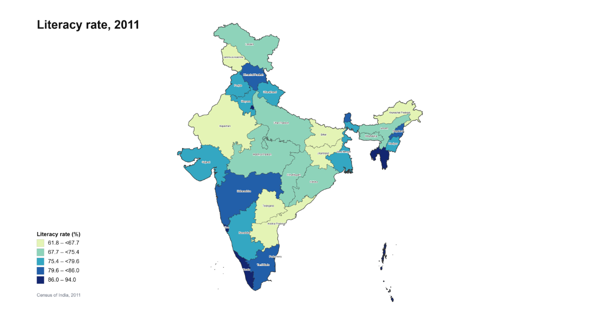
Download India's open GIS data — district boundaries, electoral maps, census geometries, shapefiles, GeoJSON, Parquet. Includes India Map Maker, a free online map maker for India: spreadsheet in, state or district map out, no watermark.
Community-maintained agent skills for MapLibre GL JS — helping AI coding assistants write better mapping code
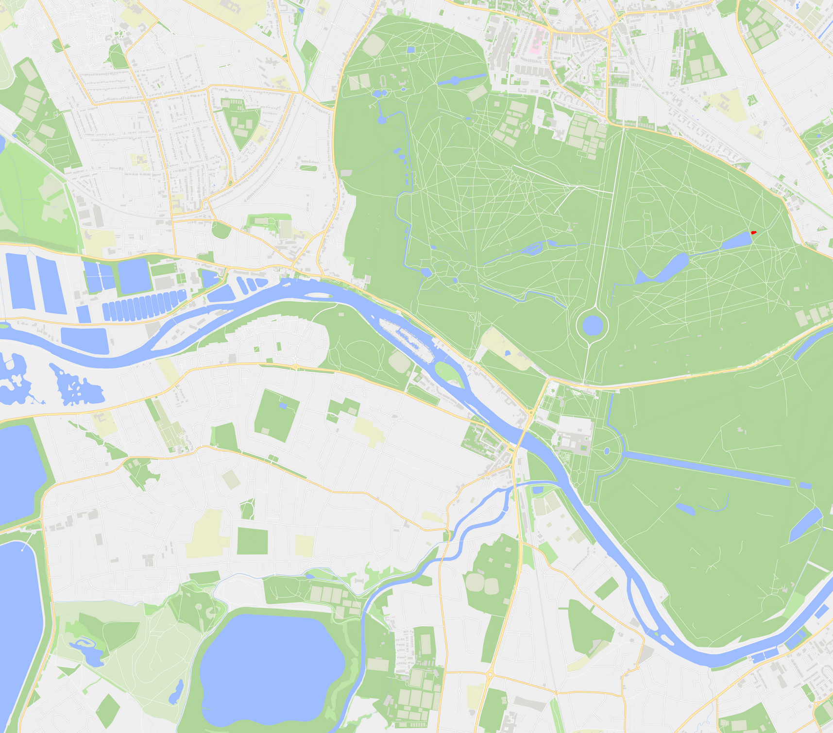
Permissive and performant vector and raster maps with wide styling support powered by MapLibre SDKs.
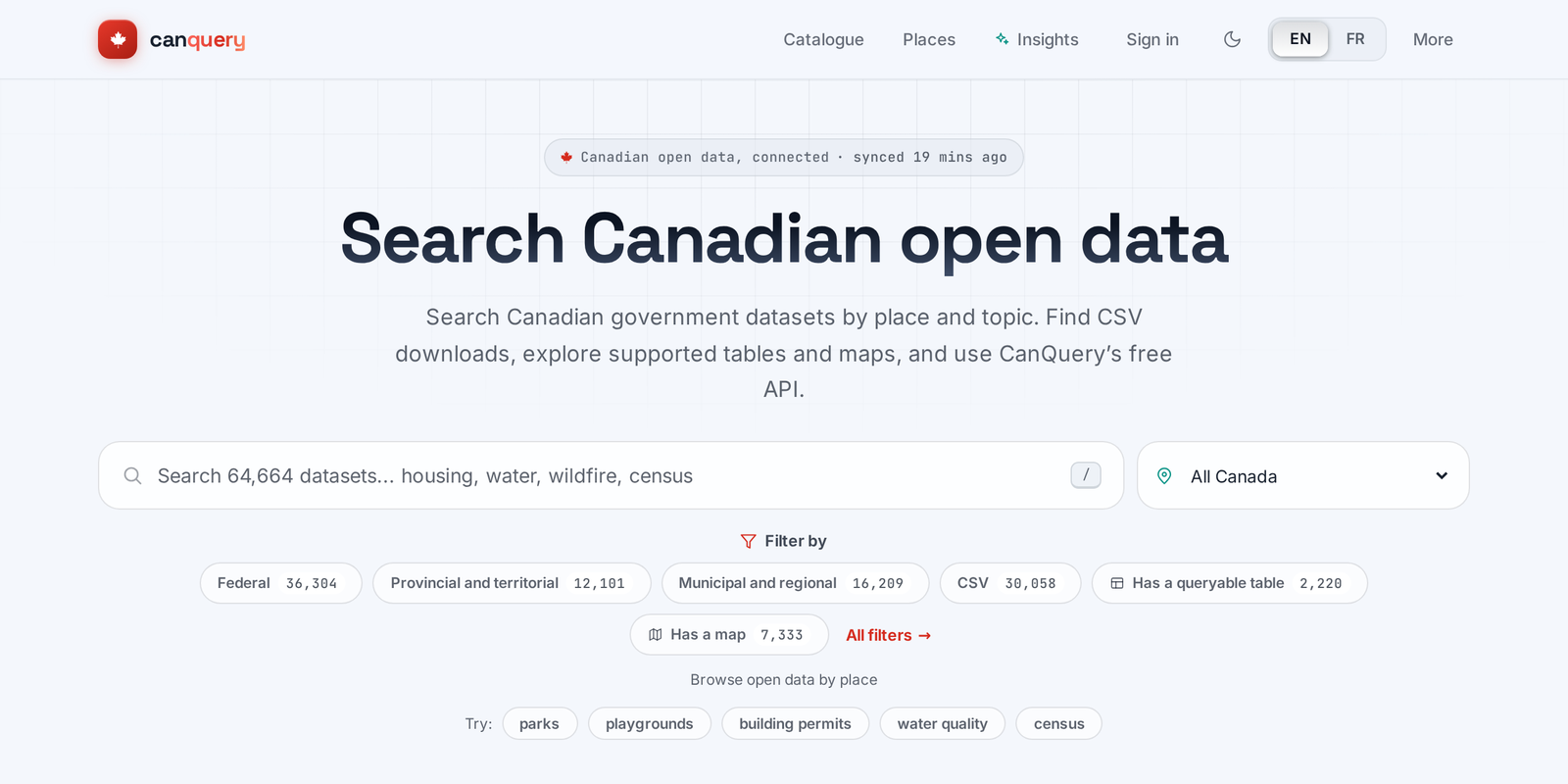
Search, preview, chart and map Canada's open data: one bilingual (EN/FR) catalogue and API over open.canada.ca and 82 municipal, regional and territorial portals.
Query Mapbox Vector Tiles & PMTiles as tables with geometry in DuckDB, natively or in the browser via Haybarn WASM (TypeScript)
Read & write Mapbox Vector Tiles, PMTiles & MBTiles as tables with geometry in DuckDB (Python)