Object-Detection-Metrics
Most popular metrics used to evaluate object detection algorithms.
- 5.1k
- Python
- MIT
- 6 d ago
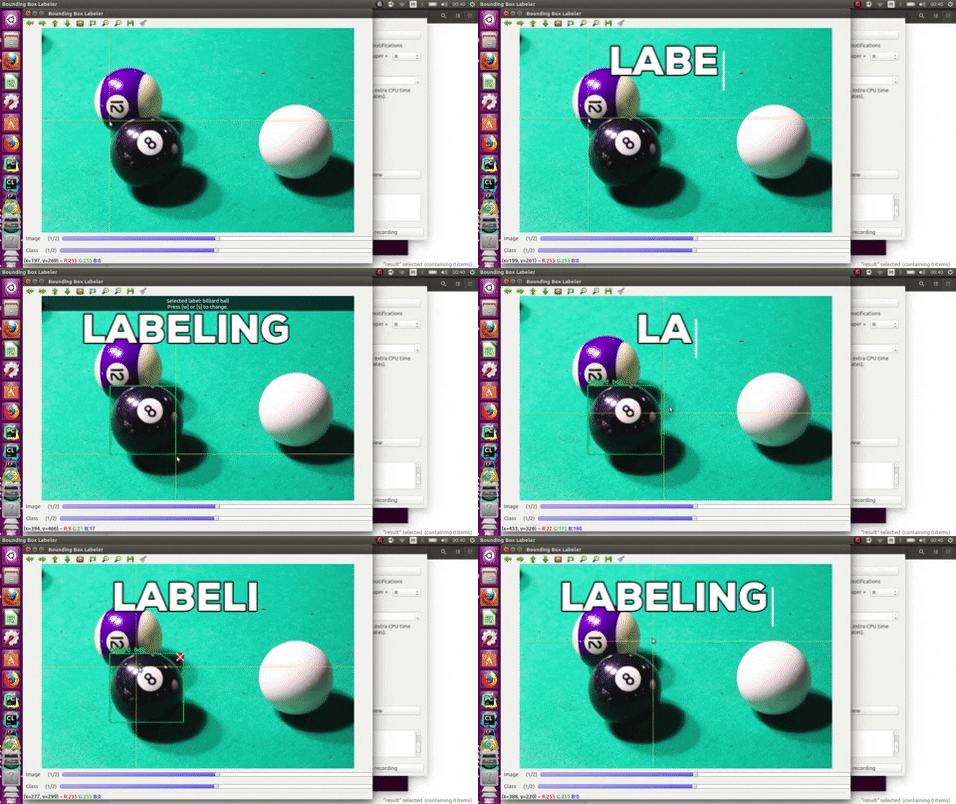
Create image annotations. Classify, tag images with polygons, bounding boxes or points.
Repo UniversalDataTool/react-image-annotate, read from GitHub 47 min ago. UniversalDataTool has not joined Take My Repo.
UniversalDataTool/react-image-annotate is a public repo on GitHub by UniversalDataTool. Create image annotations. Classify, tag images with polygons, bounding boxes or points. It declares the MIT license on GitHub. It is written mainly in JavaScript, has 443 stars and last changed on 2024-05-08. Nobody has reviewed it on Take My Repo yet, which says nothing about its quality. Read from GitHub on 2026-11-20.
GitHub is limiting requests or did not answer. The facts on this page still come from the last successful read.
Open on GitHubUniversalDataTool/react-image-annotate is a public repo on GitHub by UniversalDataTool. Create image annotations. Classify, tag images with polygons, bounding boxes or points.
It declares the MIT license on GitHub.
Its maker has not tagged a system, so it is unknown here. Its README says what it needs.
Open "Take it" on its page: Take My Repo writes an install plan for your machine and hands it to your AI agent (Claude Code, Codex or Cursor), which asks you before each step. Take My Repo has not tested it on any machine.
Its last change on GitHub was on 2024-05-08. Take My Repo does not judge from that whether it is maintained.
Nobody has reviewed it on Take My Repo yet, which says nothing about its quality.
Most popular metrics used to evaluate object detection algorithms.
Empower your React apps with robust image/document annotation capabilities! 🚀 Supports bounding boxes, polygons, points, zooming, dragging, and color-coded categorization. Built on FabricJS for ultimate customization. Perfect for data labeling and interactive editing.
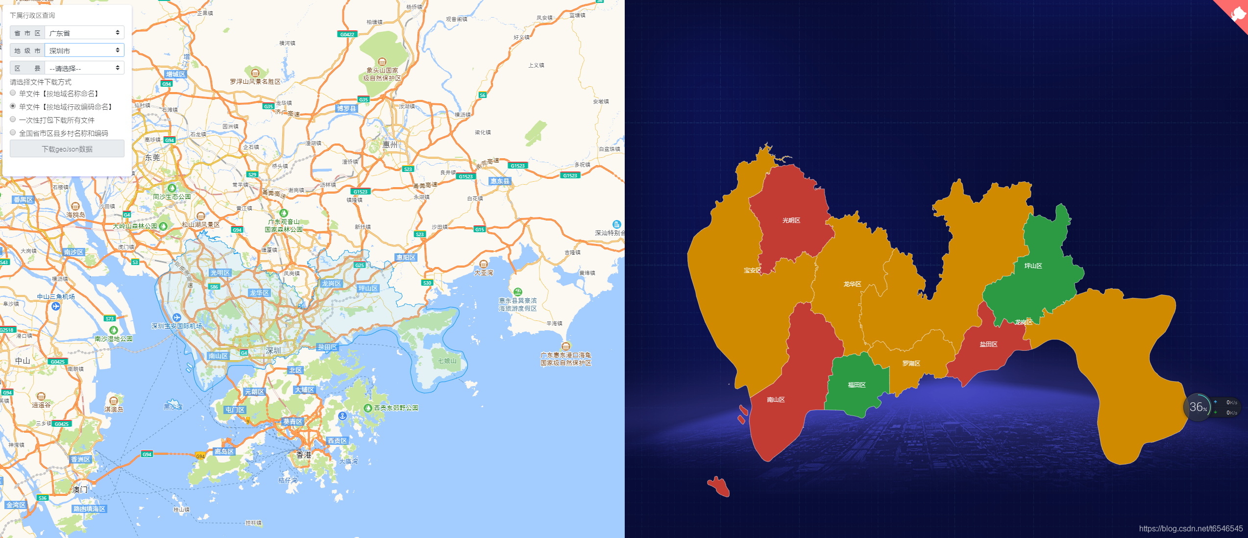
适用于echarts、QGIS等地图geoJson行政区划边界数据的实时获取与应用,json格式数据,全国省市区县多级联动下钻,真正意义的下钻至县级【附最新全国省市区县乡镇三级或四级城市geoJson文件下载,另可下载四级联动或五级(村级)行政编码对应关系】
Collaborate & label any type of data, images, text, or documents, in an easy web interface or desktop app.
Image dataset from Instagram of people wearing medical masks, no mask, or a non-medical (DIY) mask
A simple universal data description format for datasets, tailored for interfacing with humans.
React component for labeling time series data with durations and timestamps. Label audio, video, CSV or JSON formatted time series data.