r5r
- 247
- R
- 11 d ago
Community list of transit APIs, apps, datasets, research, and software :bus::star2::train::star2::steam_locomotive:
Tools for working with GTFS public transit data in ArcGIS
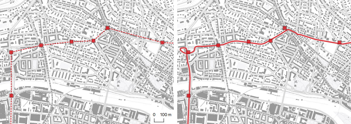
Package to create a multi-modal MATSim network and schedule from public transit data (GTFS or HAFAS) and an OSM map of the area.
Web interface that help to match and update OpenStreetMap.org public transport stops with GTFS feeds
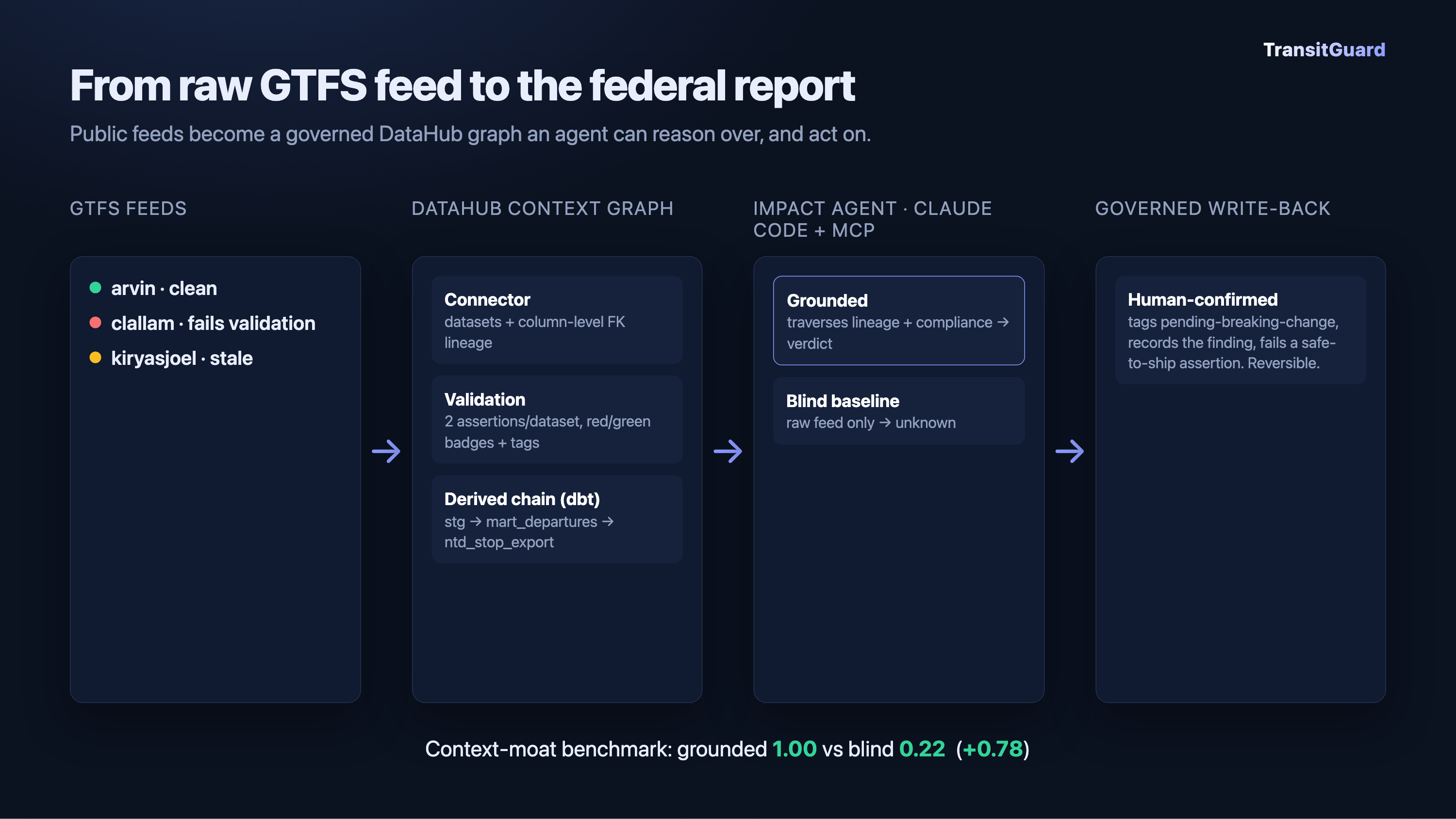
Lineage-grounded transit-feed compliance and change-impact agent on DataHub. Built for Build with DataHub: The Agent Hackathon.