openfreemap
Free and open-source map hosting solution with custom styles for websites and apps, using OpenStreetMap data
- 6.5k
- Python
- 14 h ago
Free and open-source map hosting solution with custom styles for websites and apps, using OpenStreetMap data
Download, model, analyze, and visualize street networks and other geospatial features from OpenStreetMap.
Maps and turn-by-turn navigation for Android without Google Play Services: the best of open map data, with Google lookups by choice. Runs on degoogled phones and can avoid Flock cameras
A web based data mining tool for OpenStreetMap using the Overpass API.
A python Tkinter widget to display tile based maps like OpenStreetMap or Google Satellite Images.
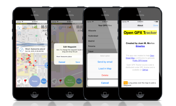
GPS Tracker app for iOS + WatchOS. Log your tracks without limits and share them; Open source GPX tracker app written in Swift
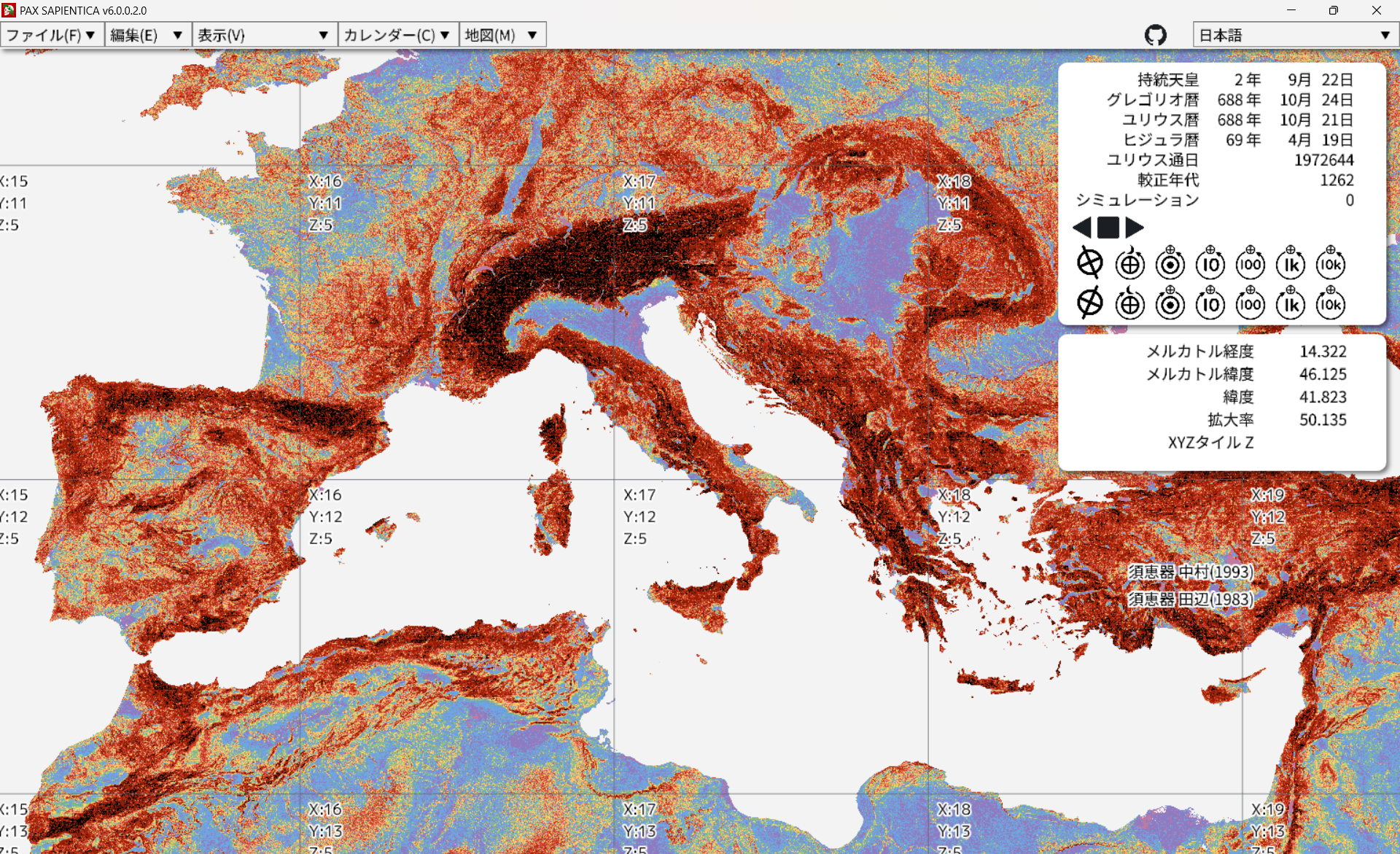
🌿: ABM & GIS for philological, archaeological, and anthropological data.
Contraction Hierarchies (with bidirectional version of Dijkstra's algorithm) technique for computing shortest path in graph.
Temporary Road Closures Database and API - GSOC 2025, 2026
Camping site pois (points of interest) and camper supplementals in the GPX format - OSM based - Europe mainly - Campings - Campingplätze - Campeggi - GPS - Navigation
Web interface that help to match and update OpenStreetMap.org public transport stops with GTFS feeds
Docker file for a minimal effort OpenStreetMap tile server with CyclOSM style
Waze Scraper — free, open-source Waze scraper. Unlimited live traffic jams, road closures, routes & places as clean JSON, no API key, no proxies.
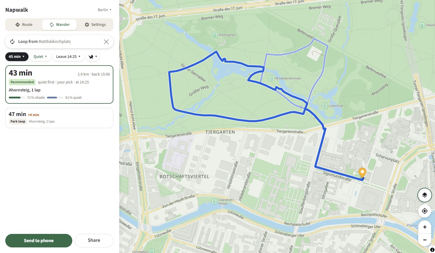
Shade, quiet, no cobbles under the stroller or your feet. On the right side of the street. Walking routes for eight cities, computed in the browser.
Docker file for a minimal effort OpenStreetMap tile server with Carto style