droneroute
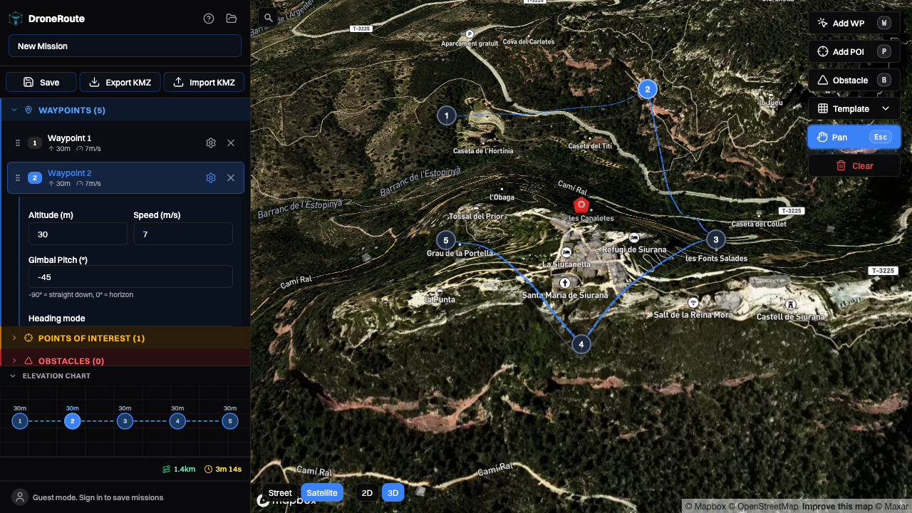
Free, open-source DJI waypoint mission planner. Plan orbits, grid surveys, and facade scans — export KMZ files ready to fly.
- 78
- TypeScript
- MIT
- 3 mo ago
Free, open-source DJI waypoint mission planner. Plan orbits, grid surveys, and facade scans — export KMZ files ready to fly.
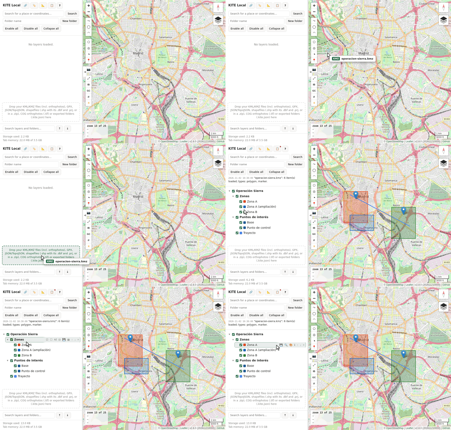
KITE Local: privacy-first KML/KMZ/GeoJSON viewer that keeps your folder tree. One HTML file, nothing uploaded. Try it
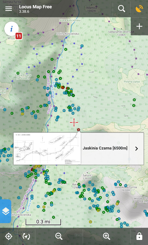
Tool for dumping Jaskinie PGI database into KML/KMZ file suitable for offline browsing in Locus.