supabase
The Postgres development platform. Supabase gives you a dedicated Postgres database to build your web, mobile, and AI applications.
- 115k
- TypeScript
- Apache-2.0
- 14 h ago
The Postgres development platform. Supabase gives you a dedicated Postgres database to build your web, mobile, and AI applications.
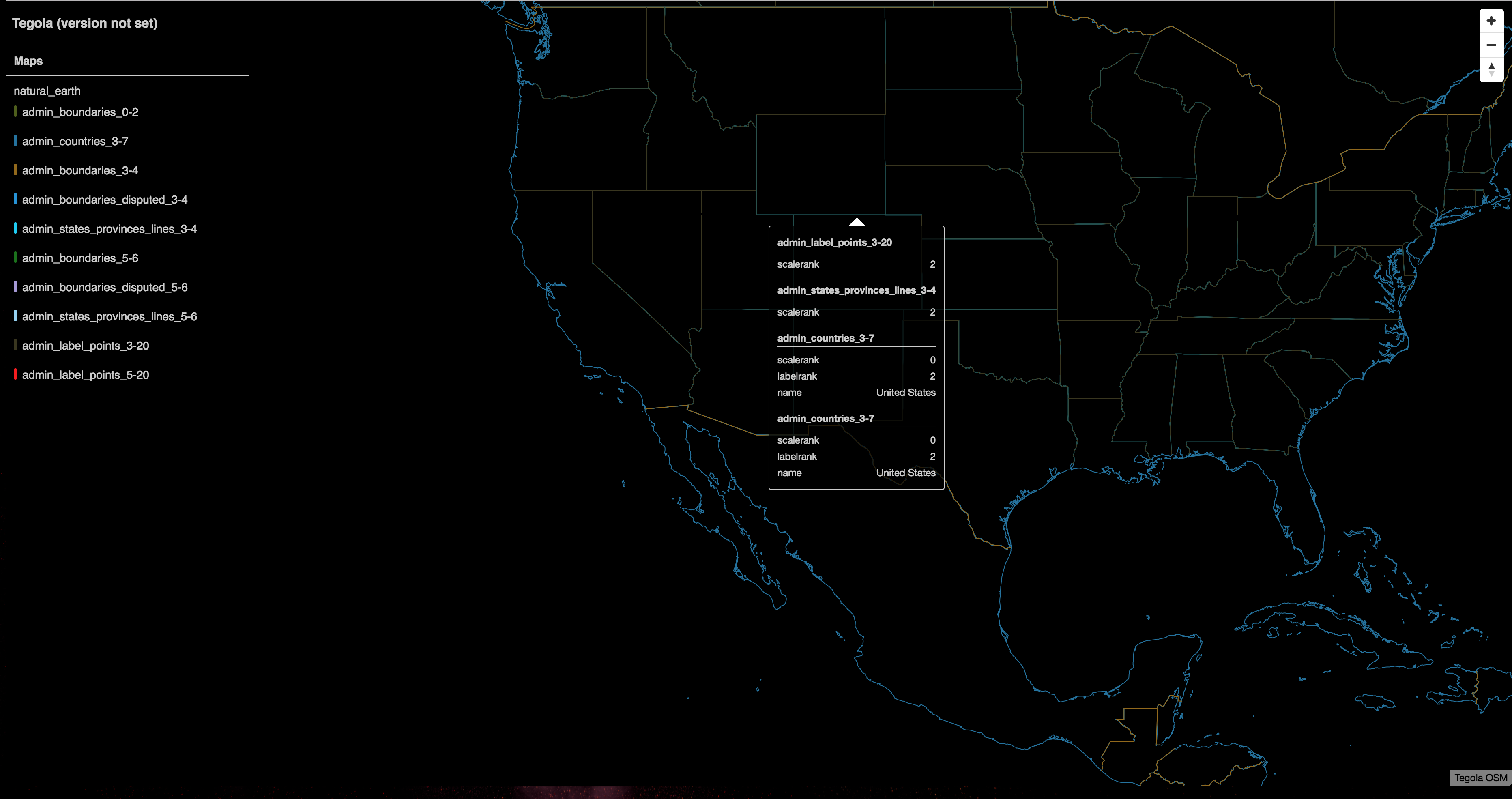
Blazing fast and lightweight PostGIS, MBtiles and PMtiles tile server, tile generation, and mbtiles tooling.
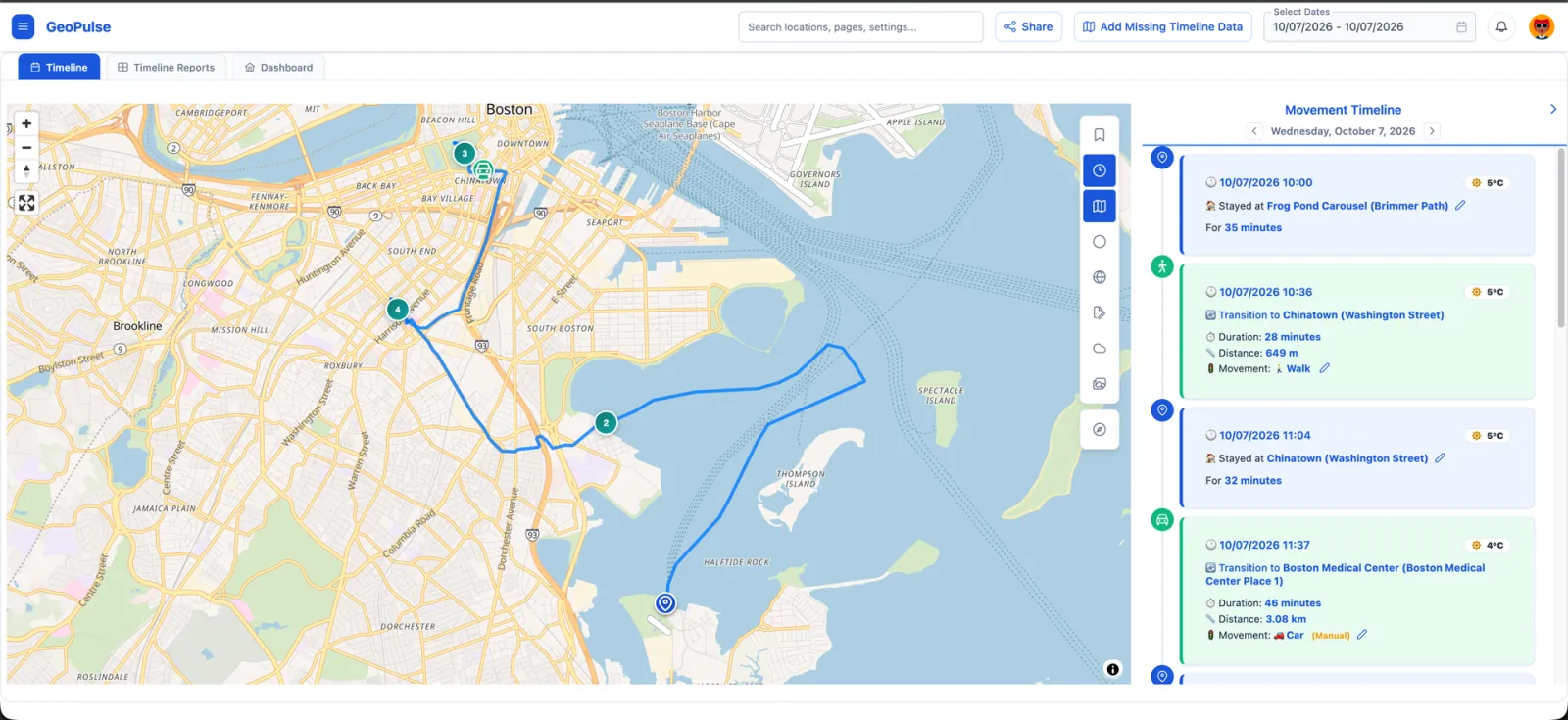
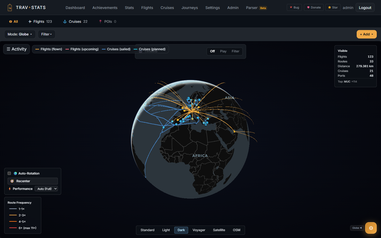
A self-hosted location timeline platform and Google Timeline alternative. Lightweight, features automatic trip detection, rich analytics, and Immich integration.
Repository contains pgRouting library. Development branch is "develop", stable branch is "master"
Open Infrastructure Map, a view of infrastructure data in OpenStreetMap
Neo4j Spatial is a library of utilities for Neo4j that faciliates the enabling of spatial operations on data. In particular you can add spatial indexes to already located data, and perform spatial operations on the data like searching for data within specified regions or within a specified distance of a point of interest.
ActiveRecord connection adapter for PostGIS, based on postgresql and rgeo
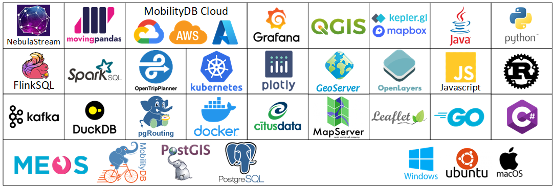
MobilityDB is a geospatial trajectory data management & analysis platform, built on PostgreSQL and PostGIS.
Tasking Manager - The tool to team up for mapping in OpenStreetMap
Self-hosted geospatial data catalog with semantic search (pgvector), OGC/STAC APIs, and map builder. Built on FastAPI, PostGIS, React, and MapLibre.
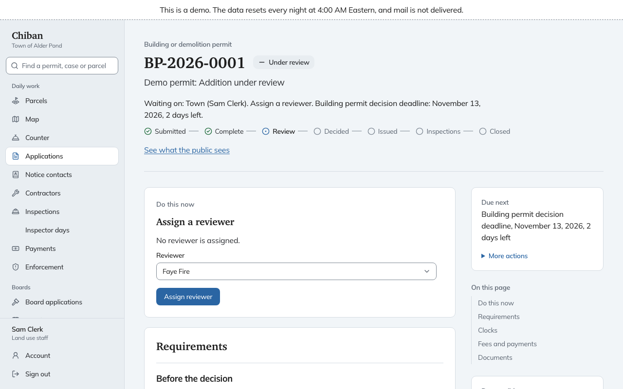
Open-source land-use software for small US towns: permits, inspections, Planning Board and ZBA cases, and code enforcement, organized around the parcel.
Wildfire Predictive Services to support decision making in prevention, preparedness, response and recovery
Spatial Data Management with PostgreSQL and PostGIS https://gishub.org/sdm
PostgSail backend. Effortlessly logs sails, automatically capturing trips, moorages, dockings and anchorages with no additional need to stop/start anything.
Open-source fuel & EV route planner. Real-time prices across enabled countries. Self-hostable.
Measured Agent Skills for geospatial AI — 18 skills that stop when the data cannot support the claim. Routing benchmark, held-out split, and known defects published.
Package pgx-geos provides PostGIS and GEOS support for github.com/jackc/pgx/v5 via github.com/twpayne/go-geos.
Self-hosted, open source GIS portal: web maps, PostGIS data layers, forms, an app builder with dashboards, an offline field PWA, OGC APIs, and a QGIS plugin. PostGIS + MapLibre + Keycloak on Docker Compose.
QuickStart template targeted for OpenShift. Includes a starter app.
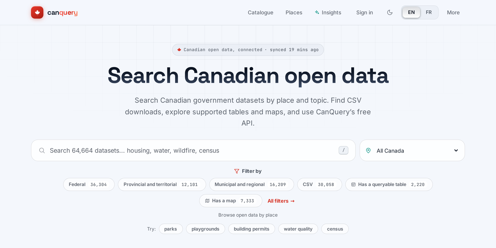
Search, preview, chart and map Canada's open data: one bilingual (EN/FR) catalogue and API over open.canada.ca and 82 municipal, regional and territorial portals.
A Python wrapper of pgRouting for routing from nodes to nodes on real map.
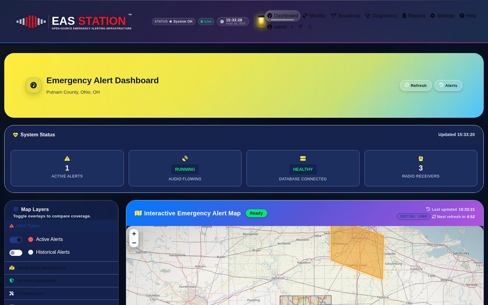
A professional Emergency Alert System (EAS) platform for monitoring, broadcasting, and verifying NOAA and IPAWS alerts