sahi
Framework agnostic sliced/tiled inference + interactive ui + error analysis plots
- 5.6k
- Python
- MIT
- 3 wk ago
Framework agnostic sliced/tiled inference + interactive ui + error analysis plots
Browser-based ground station suite for celestial body, mission and satellite tracking, SDR reception, hardware control, and telemetry decoding
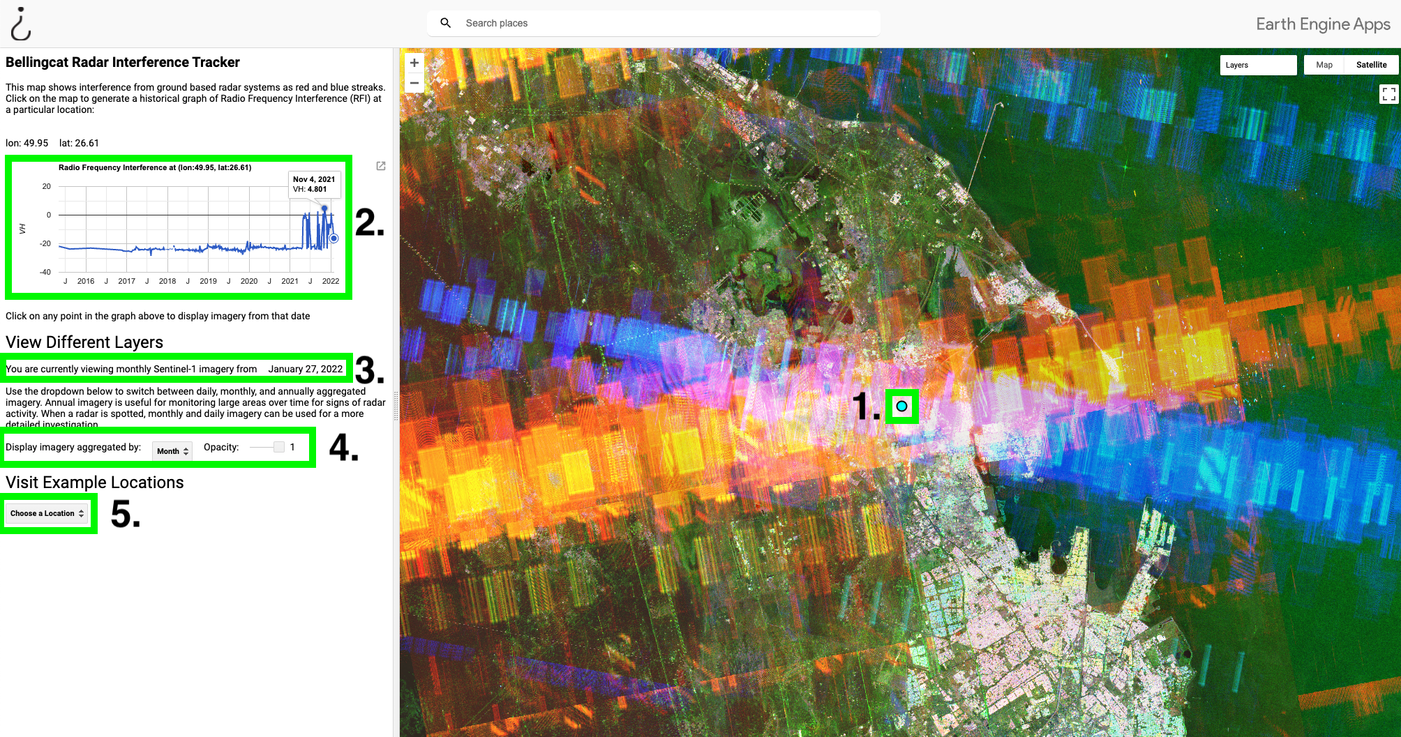
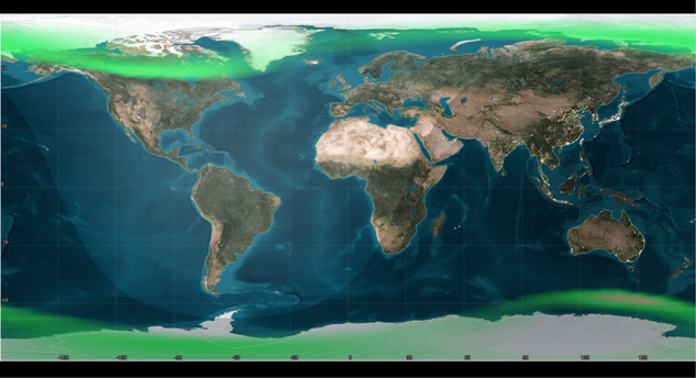
A Google Earth Engine tool for identifying satellite radar interference.
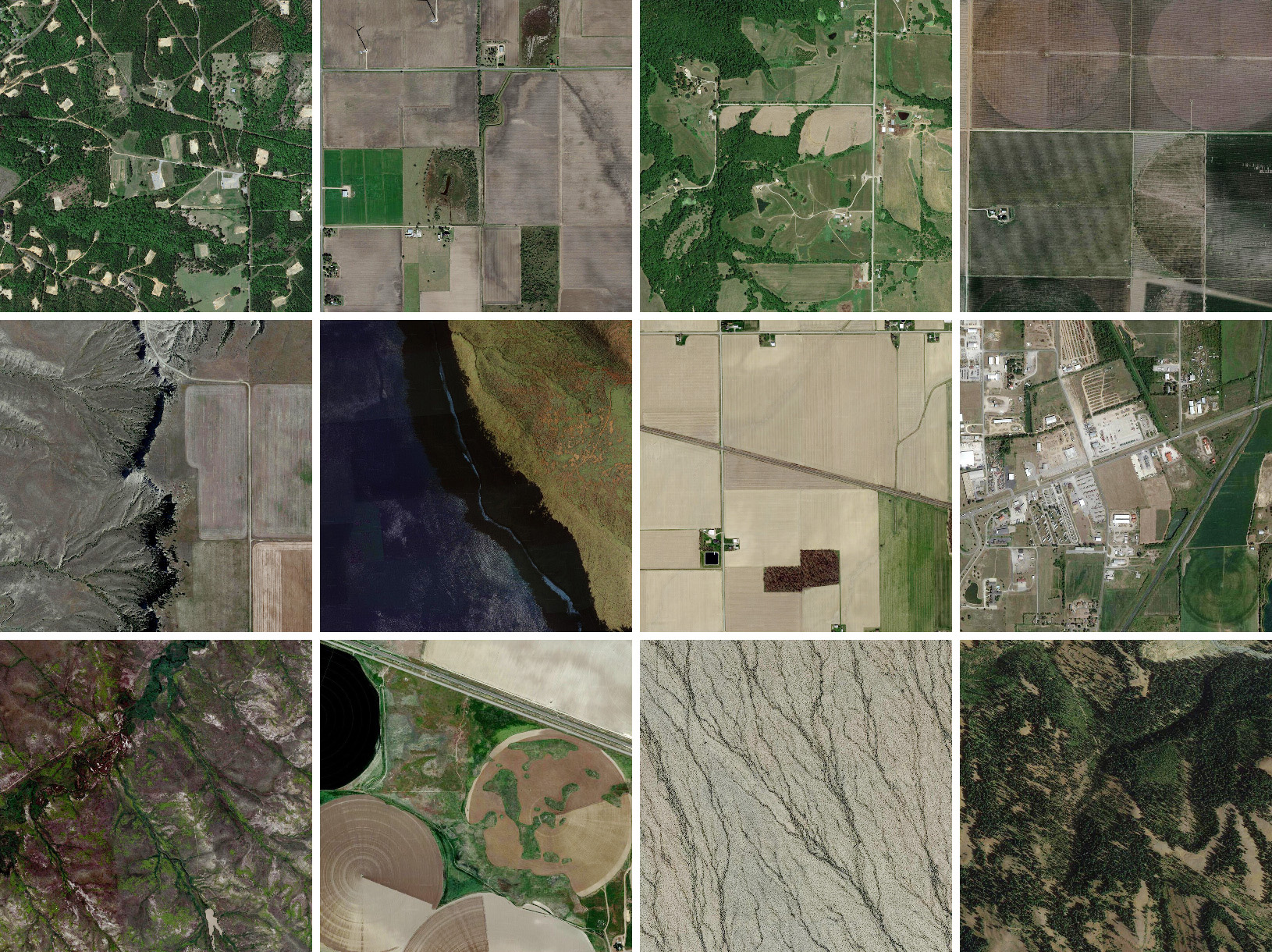
A simple yet highly configurable Mastodon bot that posts geotagged aerial imagery of a random location in the world.
GitHub Satellite 2020 workshops on finding security vulnerabilities with CodeQL for Java/JavaScript.
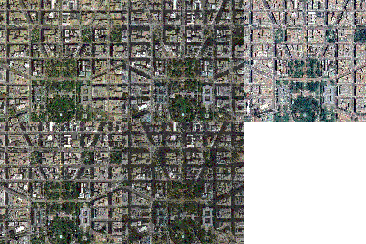
Google Maps keeps old satellite imagery around for a while – this tool collects what's available for a user-specified region in the form of a GIF.
Open source Java implementation of publicly available CCSDS standards: SLE, TM/TC, AOS, Space Packets, COP-1, time formats, CFDP, Encapsulation Packets.
We propose a simple yet efficient technique to leverage semantic segmentation model to extract and separate individual buildings in densely compacted areas using medium resolution satellite/UAV orthoimages. We adopted standard UNET architecture, additionally added batch normalization layer after every convolution, to label every pixel in the image.
Pyspectral is a package to read and manipulate satellite sensor spectral responses and solar irradiance spectra
Annotated Sentinel-2 imagery of floating marine debris (plastic, driftwood, seaweed, pumice, sea snot, sea foam)
RS-Paper-Hub: A curated collection of remote sensing papers from arXiv. 遥感论文社:打造遥感领域的专属论文集(如卫星、无人机、地面基站)(http://rspaper.top/)
Community-driven collection of resources about CubeSat development.
A python package to read and calibrate NOAA and Metop AVHRR GAC and LAC data
Full-Spectrum Geospatial Intelligence MCP Server — 171 tools across 27 categories: satellite imagery, aircraft tracking, maritime intelligence, military & defense, space tracking, conflict mapping, environmental monitoring, and more
Next generation Trollflow. Trollflow is for batch-processing satellite data using Satpy
This website provides users with the opportunity to explore the wonders of the universe by generating random planet or satellite maps with just a click of a button. Experience the beauty of celestial bodies and embark on a cosmic adventure through immersive map exploration.
Python package for creating a Fundamental Data Record (FDR) of AVHRR GAC data using pygac
Public Repo for requesting planetary and Satellite data by lat n Lon, calculates and returns ics based on elongation and 2 week pass over calculations
Terminal-based satellite reception planning for Meteor-M2-3/4, ISS, Tiangong (CSS), AO-73, RS-44, SO-50, AO-123, AO-91, FO-29, Metop-B/C, Fengyun-3A/3C, GOES-18/19 and Elektro-L 3. Supports NORAD IDs and custom catalogs.