city2graph
Transform geospatial relations into graphs for Graph Neural Networks and spatial network analysis
- 2k
- Python
- BSD-3-Clause
- 2 d ago
Transform geospatial relations into graphs for Graph Neural Networks and spatial network analysis
Download, model, analyze, and visualize street networks and other geospatial features from OpenStreetMap.
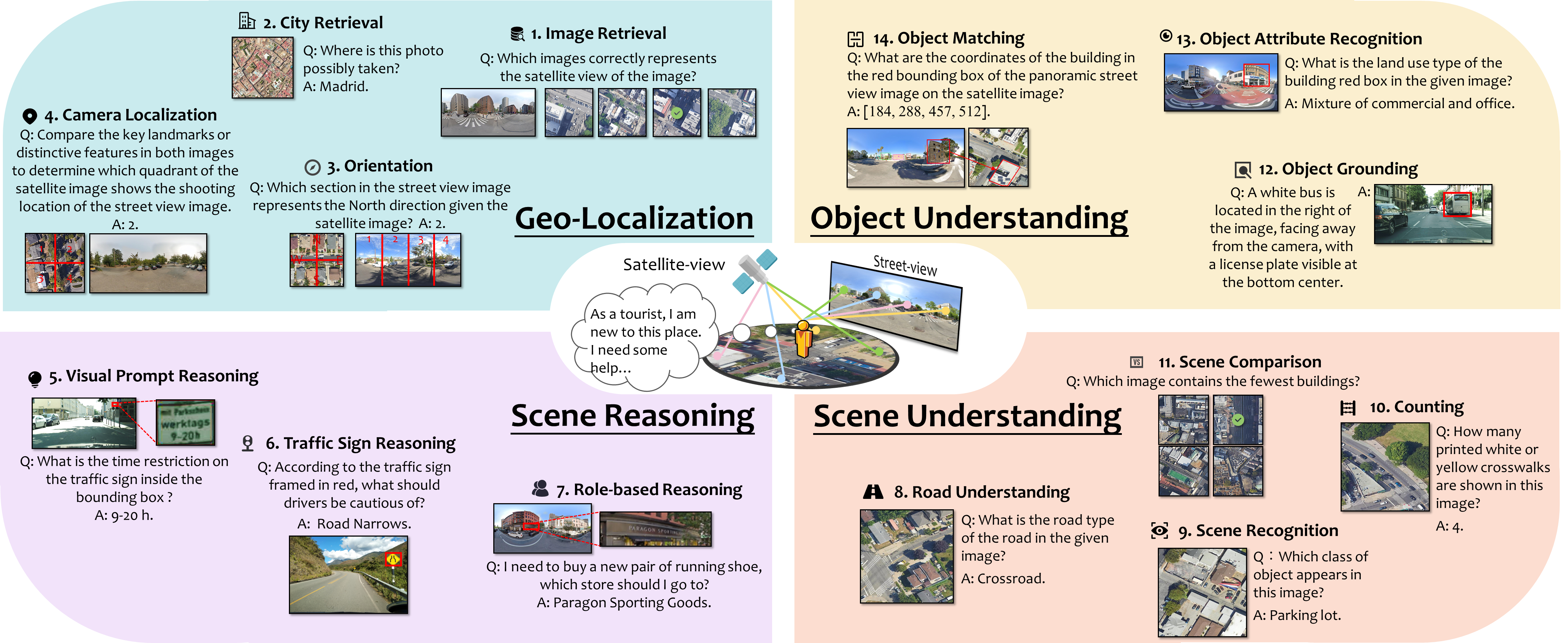
[AAAI 2025]This repo contains evaluation code for the paper “UrBench: A Comprehensive Benchmark for Evaluating Large Multimodal Models in Multi-View Urban Scenarios”
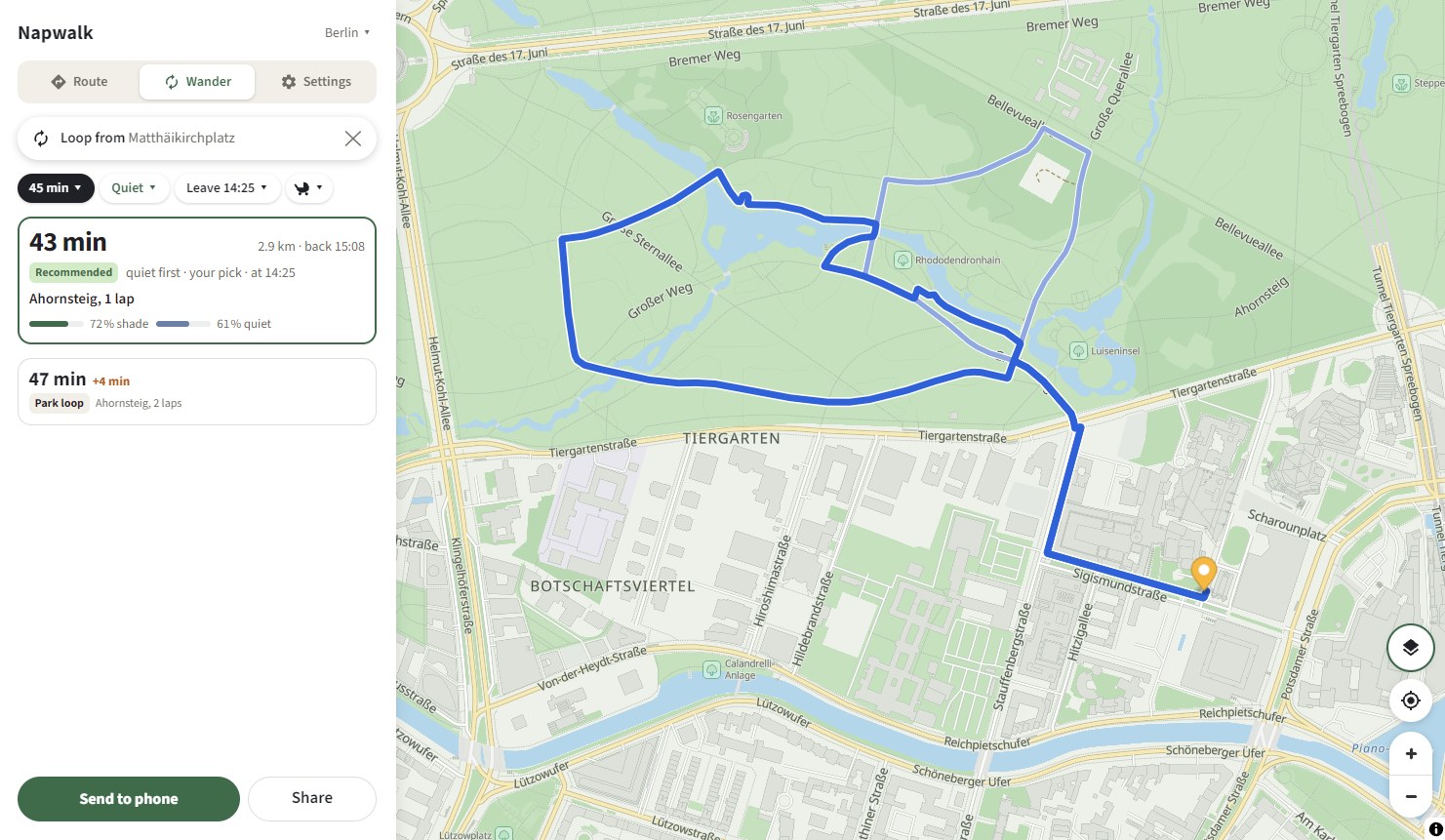
Shade, quiet, no cobbles under the stroller or your feet. On the right side of the street. Walking routes for eight cities, computed in the browser.
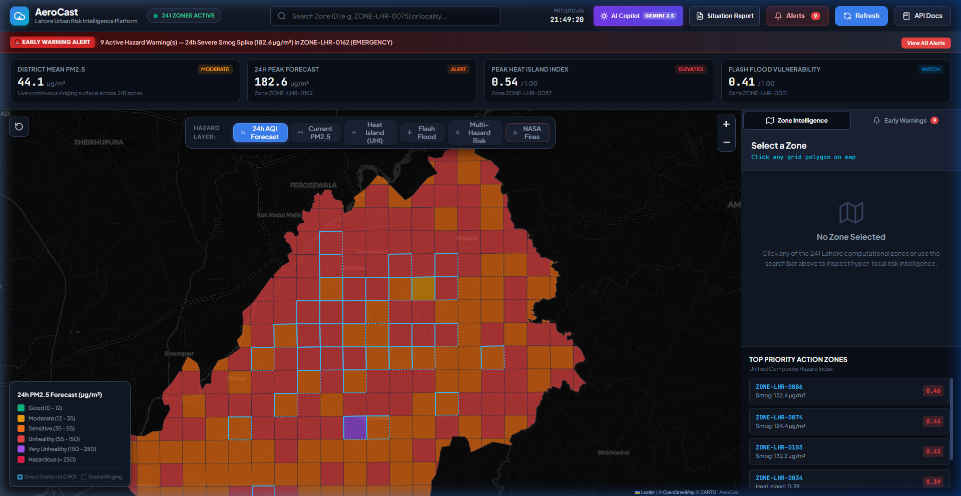
Predictive hyper-local early warning for smog spikes, urban heat islands, and flash flood risk across Lahore District.