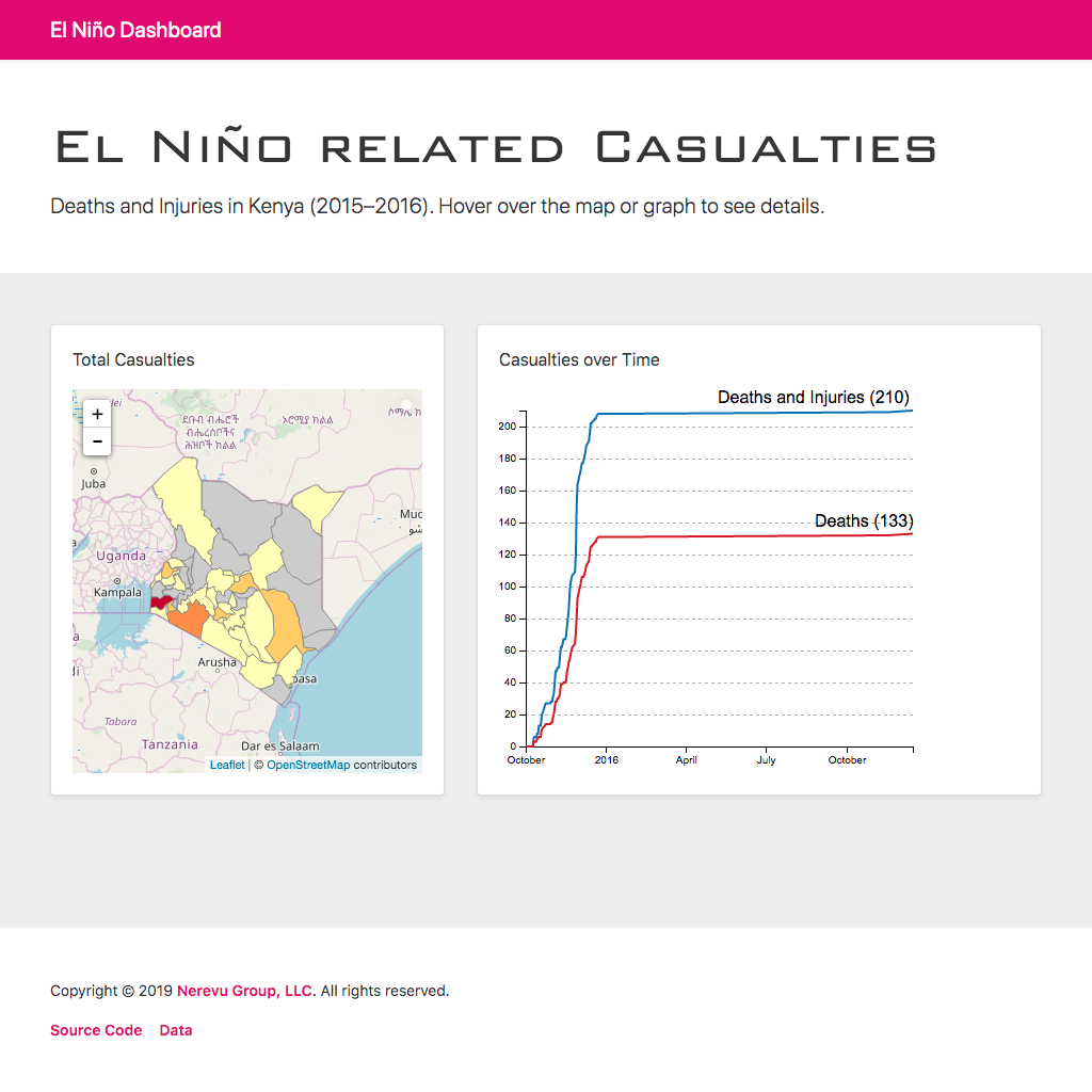
choropleth




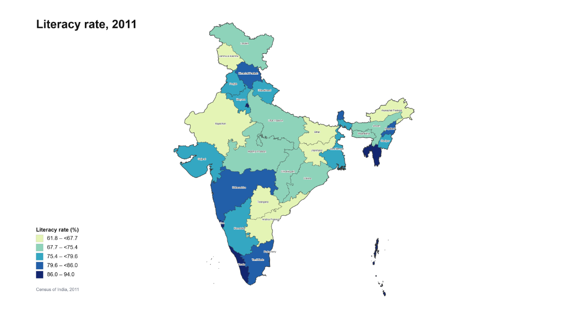
india-geodata
Download India's open GIS data — district boundaries, electoral maps, census geometries, shapefiles, GeoJSON, Parquet. Includes India Map Maker, a free online map maker for India: spreadsheet in, state or district map out, no watermark.
- 93
- Python
- 9 h ago

covid-19
Current and historical coronavirus covid-19 confirmed, recovered, deaths and active case counts segmented by country and region. Includes csv, json and sqlite data along with an interactive website explorer.
- 14
- Go
- 6 y ago

mapping-with-R
Introduction to simple mapping in R: georeferencing lat/long coordinates, thematic mapping and choropleth maps, using simple features, leaflet, and tmap and mapview.
- 23
- CC-BY-4.0
- 3 y ago

orange3-geo
:tangerine: :earth_africa: Orange add-on for dealing with geography and geo-location
- 28
- Python
- GPL-3.0
- 5 wk ago

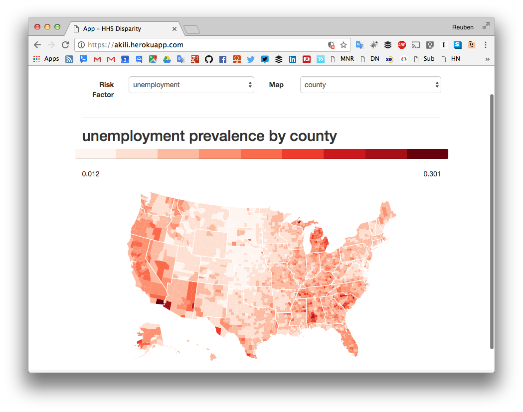

turkiye-housing-prices-pandemic
Region-level analysis of Türkiye's housing market that separates real (inflation-adjusted) price growth from inflation, comparing the six years before and after the COVID-19 pandemic (2014–2025) — reproducible Python notebook, high-res figures, and LISA spatial analysis.
- 4
- Jupyter Notebook
- MIT
- 5 mo ago



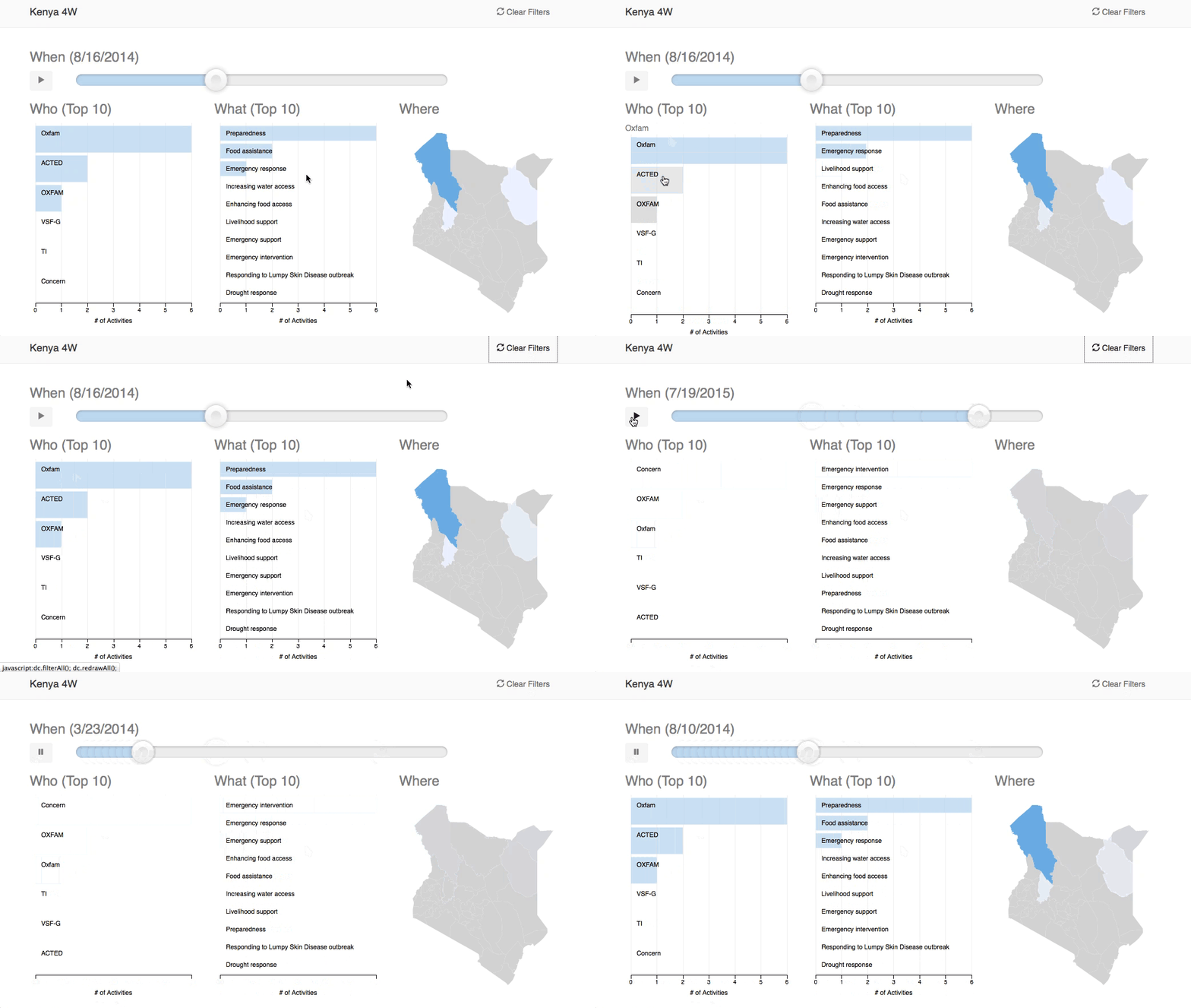
irish-language-map
Interactive map of the percentage of people able to speak Irish in each of Ireland's 32 counties, from the 1851 census to 2022.
- 2
- Svelte
- MIT
- 3 wk ago

Capstone_EDA_Global_Terrorism_Analysis
A comprehensive analysis of the GTD, to uncover global terrorism patterns, trends, and impacts through data-driven analysis. Involves rigorous analysis of most used attack & weapon types; favourite targets; yearly distribution of casualties, no. of attacks, success rates, and more - both holistic and for specific countries and terror organizations
- 2
- Jupyter Notebook
- 3 y ago

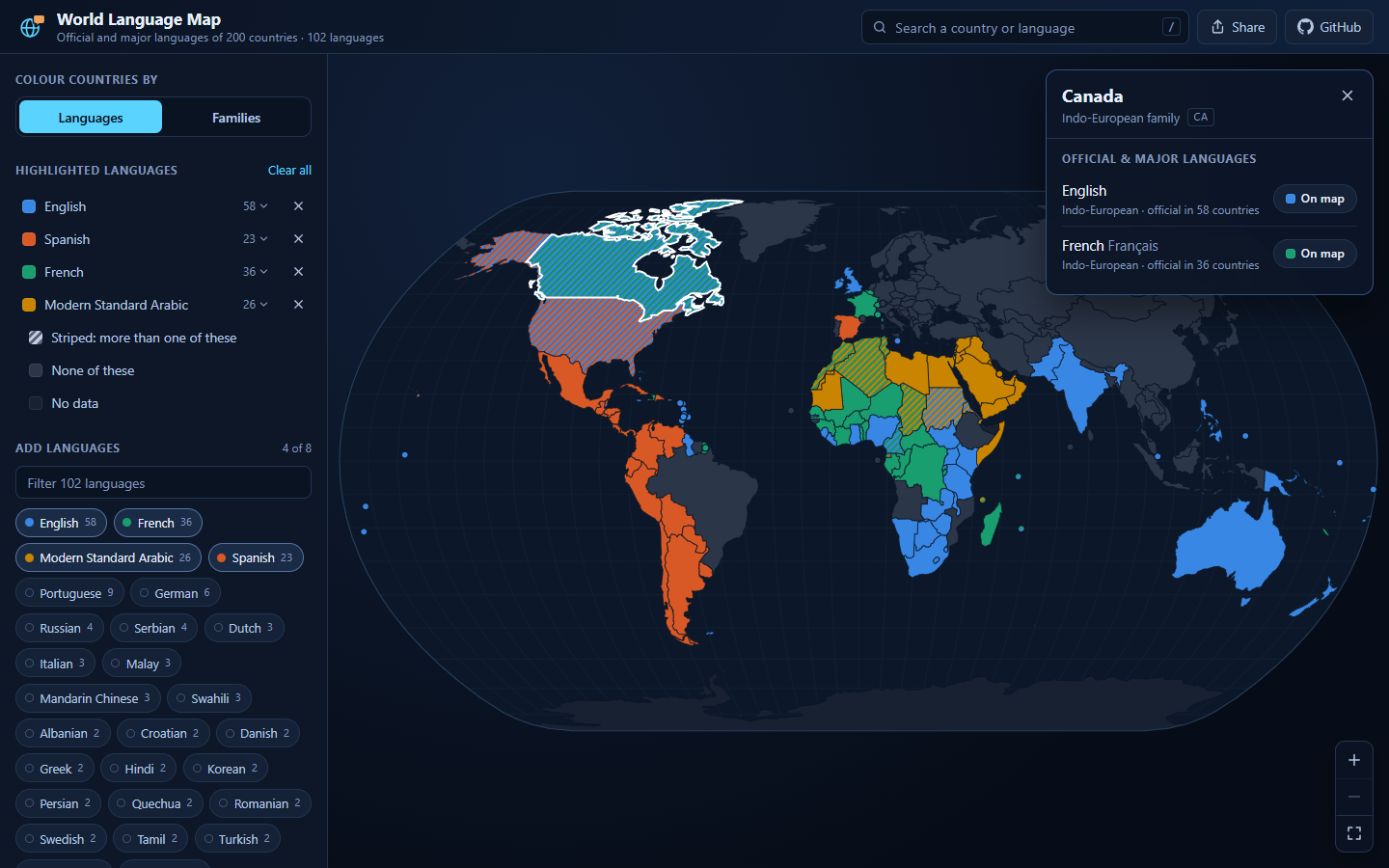
MapLanguageVisualizer
Interactive world map of where 102 languages are official, across 200 countries. Highlight languages, compare language families, share the view.
- 0
- TypeScript
- MIT
- 2 mo ago

education-choropleth-map
A D3.js choropleth map of the US built in React.js that presents each county's percentage of adults who are college graduates.
- 1
- JavaScript
- 20 mo ago

export-atlas
Interactive export atlas comparing 87 goods and services markets across countries and years, using UN Comtrade and World Bank data.
- 0
- HTML
- 3 mo ago