instagram-location-search
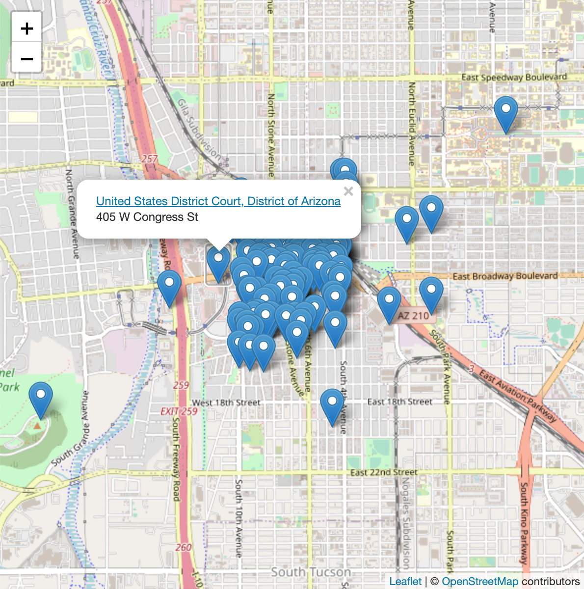
Finds Instagram location IDs near a specified latitude and longitude.
- 744
- Python
- MIT
- 3 y ago
Finds Instagram location IDs near a specified latitude and longitude.
Automatically archive links to videos, images, and social media content from Google Sheets (and more).
Check if phone numbers are connected to Telegram accounts.
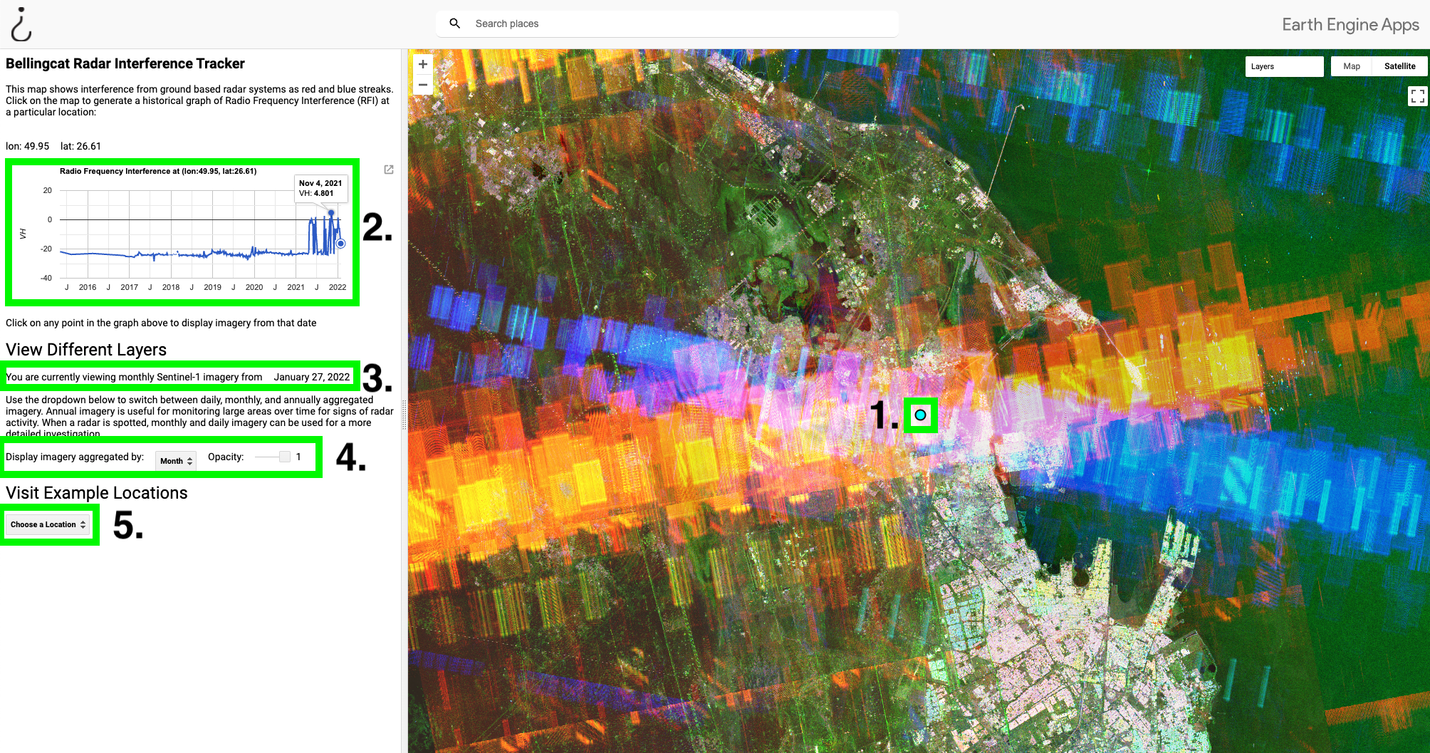
A Google Earth Engine tool for identifying satellite radar interference.
Provides tools to analyze hashtags within posts scraped from TikTok.
Jupyter notebooks helping open source researchers, journalists, and fact-checkers use command line tools and code projects for digital investigations.
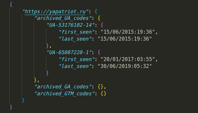
A lightweight tool for scraping current and historic Google Analytics data
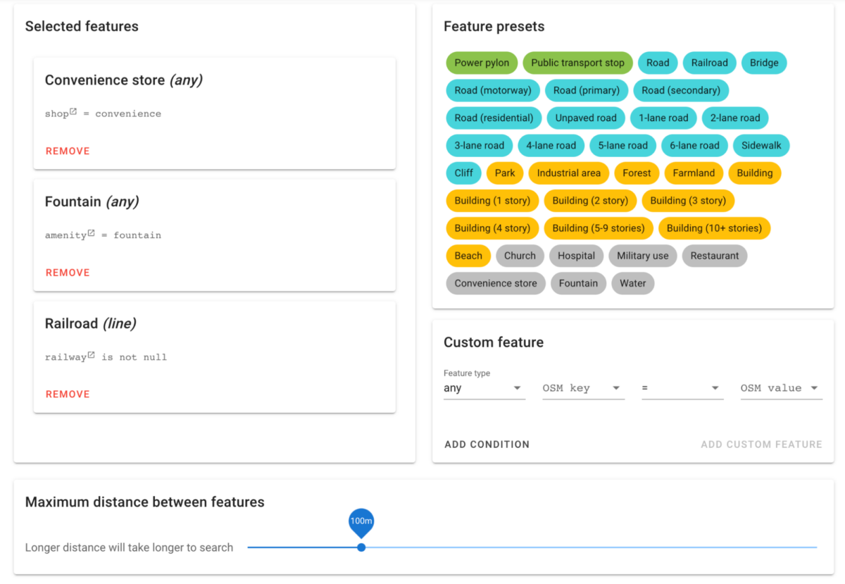
A user friendly way to search OpenStreetMap data for features in proximity to each other.
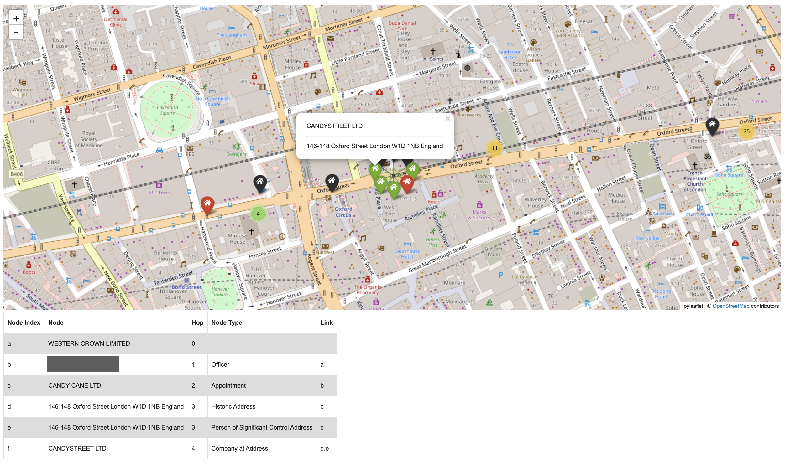
Visualise networks of companies, officers and addresses connected through UK Companies House
Online tool to automatically join public/private telegram groups.
Easy to deploy API for transcribing and translating audio / video using OpenAI's whisper model.
User friendly zero-shot image classification using open-source models from the Hugging Face library
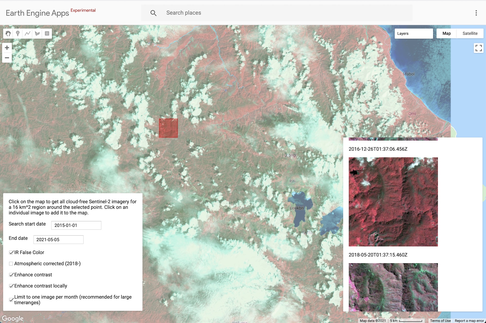
Google Earth Engine application that finds Sentinel-2 images that are cloud-free in a particular area of interest.
A tiny client side tool that retrieves the timestamp from Tiktok videos.
Scrape VK URLs to fetch info and media - python API or command line tool.
Monitor the Umbra open data catalogue and provide a KML file for finding coverage
Extension to standardize dates and times to the same timezone across social media websites.
Real-time tracking of every new GitHub 'skills' repo to capture the AI agent skill ecosystem trend
Find verbatim quotes from council meetings in the UK and Ireland using this free open source research tool by Bellingcat.
Google Earth Engine App for exploring Landsat 8 multispectral imagery.
Interactive visualisation of messages in the Bellingcat Discord Server.