pytorch_geometric_temporal
PyTorch Geometric Temporal: Spatiotemporal Signal Processing with Neural Machine Learning Models (CIKM 2021)
- 3k
- Python
- MIT
- 6 mo ago
PyTorch Geometric Temporal: Spatiotemporal Signal Processing with Neural Machine Learning Models (CIKM 2021)
Download, model, analyze, and visualize street networks and other geospatial features from OpenStreetMap.
A cluster computing framework for processing large-scale geospatial data
Transform geospatial relations into graphs for Graph Neural Networks and spatial network analysis
Repository contains pgRouting library. Development branch is "develop", stable branch is "master"
Boost.Geometry - Generic Geometry Library | Requires C++14 since Boost 1.75
The Spatial Framework for Hadoop allows developers and data scientists to use the Hadoop data processing system for spatial data analysis.
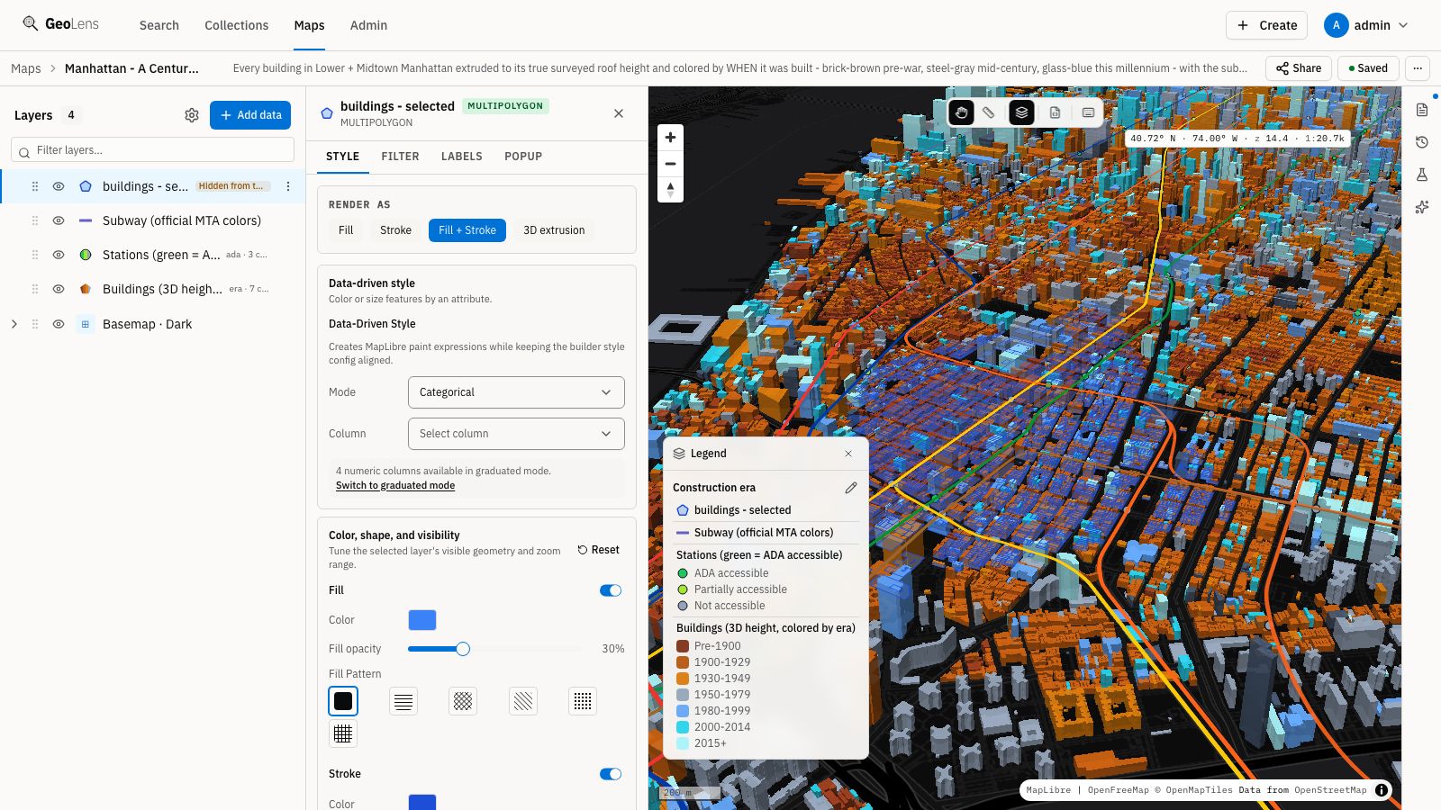
Self-hosted geospatial data catalog with semantic search (pgvector), OGC/STAC APIs, and map builder. Built on FastAPI, PostGIS, React, and MapLibre.
Spatiotemporal datasets collected for network science, deep learning and general machine learning research.
Progression path for a GIS analyst who wants to become proficient in using Python for GIS: from apprentice to guru
Tools to help you setup a mosaic dataset to support fast, web-based suitability analysis
Multimodal object tracking and scene analytics for highly actionable, real-world contextualized data
GEO-INFER — a 45-module geospatial inference monorepo from the Active Inference Institute. Spatial analysis, active inference, domain modeling, agent workflows, and reproducible repository validation in one uv/Python workspace (H3, Bayesian models, place & risk).