lidar_slam
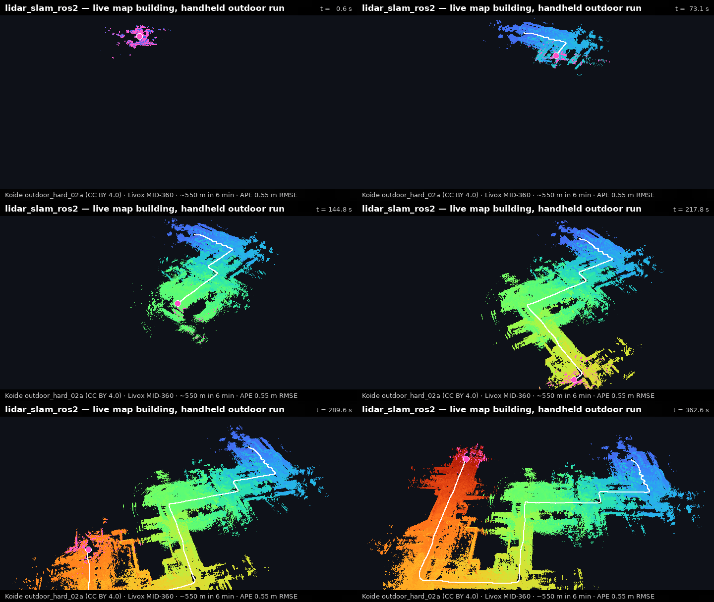
3D LiDAR SLAM for pointcloud-map authoring, benchmarking, and Autoware-compatible map workflows.
- 954
- Python
- BSD-2-Clause
- 14 h ago
3D LiDAR SLAM for pointcloud-map authoring, benchmarking, and Autoware-compatible map workflows.
Extended Kalman Filter predicts the GNSS measurement based on IMU measurement
Software Release for "Incremental Covariance Estimation for Robust Localization"
Xplorer Series – Rugged Industrial & Marine Edge IoT/AIoT Controller & Embedded Mission Computers – Raspberry PI CM5 & Hailo AI Ecosystems
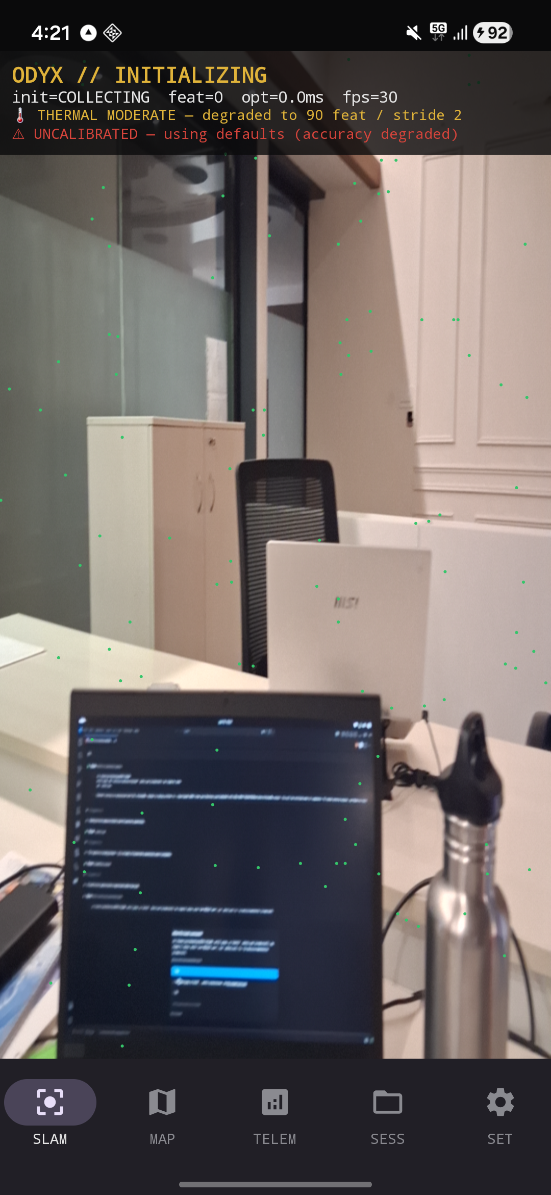
On-device visual-inertial SLAM with GNSS fusion for Android. A from-scratch GTSAM factor-graph VIO (camera + IMU + raw GNSS) that replaces ARCore for georeferenced 6-DoF pose.
Professional environmental measurement system (Android/Kotlin/Compose): 96 probes, sensor fusion & statistics, packet capture with JA3/protocol ID, NFC security testing, HCE emulation, 15+ diagnostic tools
Turn a fleet of dash phones into a live, city-scale map of where self-driving actually works. 100% on-device corridor ODD scoring (lane visibility, GNSS, illumination, agent chaos, roughness) plus GLARYX perception-weather. No video ever leaves the device.
Time-aligned multi-sensor capture kernel for Android: camera, IMU, GNSS and audio on one BOOTTIME clock, straight to an MCAP file that opens in Foxglove with zero manual offset.
Six-camera GMSL2 autonomous-driving data collection rig on Jetson AGX Orin — hardware frame sync, IMU and GNSS on one timebase. Setup, drivers, tooling and measured verification.