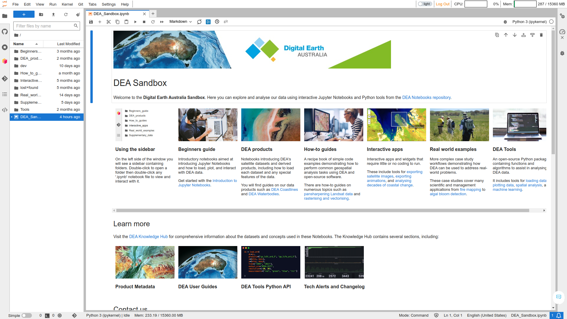
dea-notebooks
Open-source Jupyter Notebooks and Python tools for geospatial analysis with Digital Earth Australia, Open Data Cube, and Xarray
- 543
- Jupyter Notebook
- Apache-2.0
- 6 wk ago
Open-source Jupyter Notebooks and Python tools for geospatial analysis with Digital Earth Australia, Open Data Cube, and Xarray
An open-source benchmark framework for evaluating state-of-the-art deep learning approaches for image classification in Earth Observation (EO)
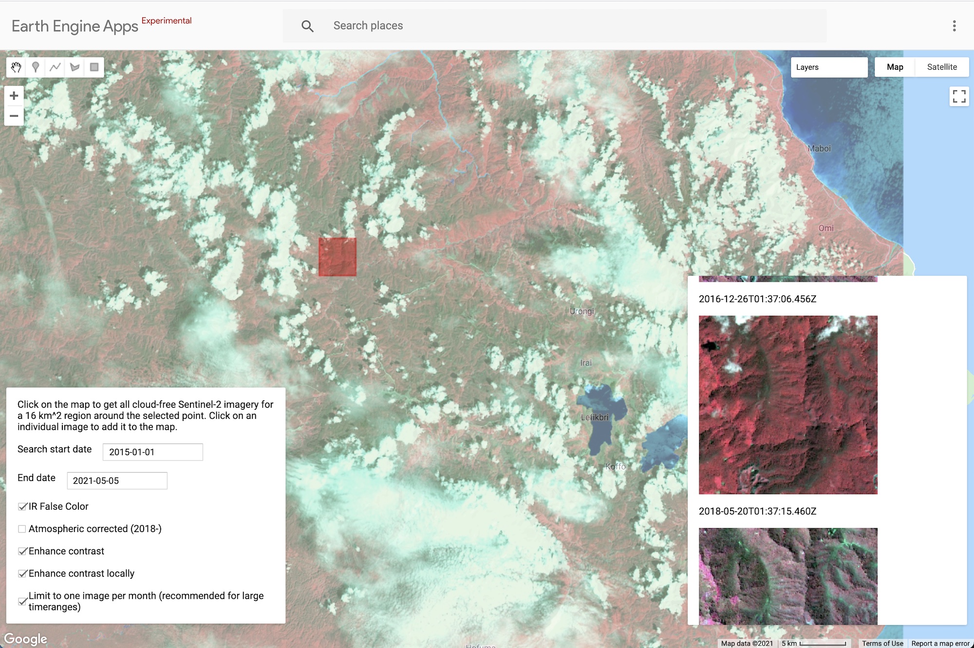
Google Earth Engine application that finds Sentinel-2 images that are cloud-free in a particular area of interest.
Image segmentation model, used with terratorch.
Annotated Sentinel-2 imagery of floating marine debris (plastic, driftwood, seaweed, pumice, sea snot, sea foam)
Remote sensing tools for high-resolution mapping of the intertidal zone
Example JavaScript source code for ArcGIS imagery apps (Landsat Explorer and Sentinel Explorer) that you can expand or customize.
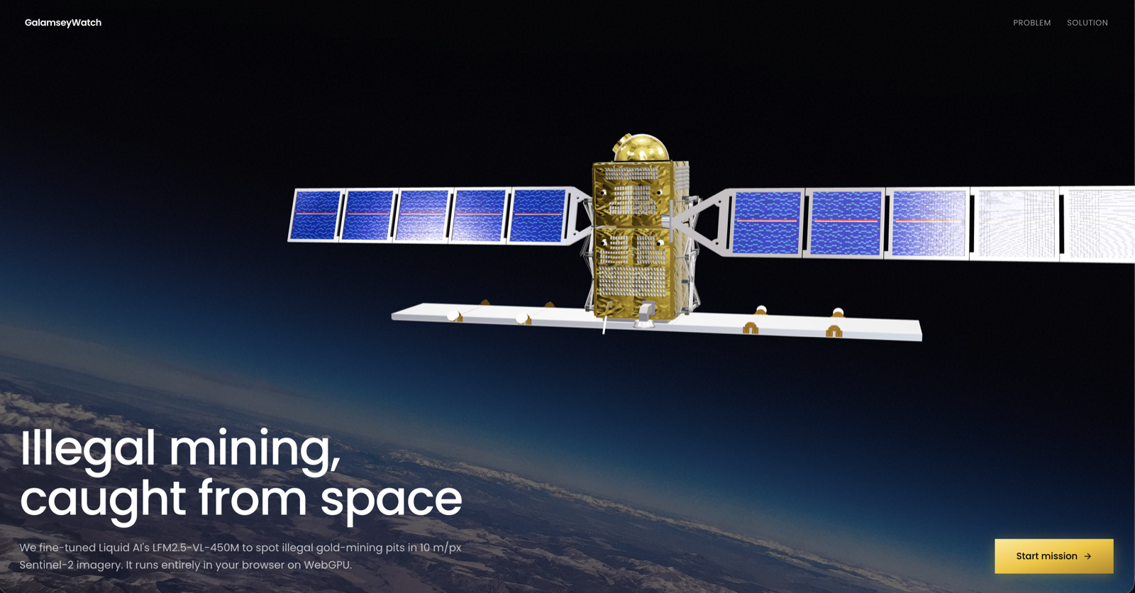
Two-layer agentic Earth Observation on satellite-class compute. Fine-tuned LFM2.5-VL perception + tool-calling agent over Sentinel-2 imagery. Galamsey detection in Ghana as the worked example.
Open-source, config-driven pipeline for discovering, preprocessing, and patching Sentinel-2 L2A imagery into U-Net-ready training datasets for crop classification — hybrid rule-based + AI scene selection with ground-truth label integration.
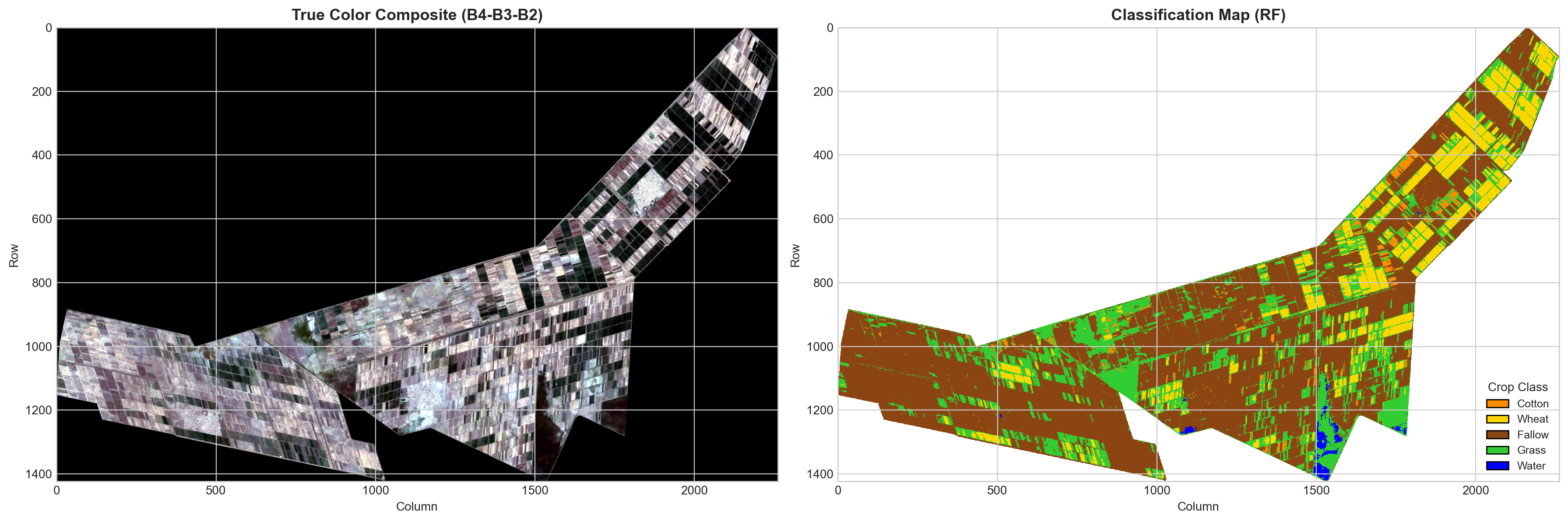
Multi-class crop classification in Elgabel Region, Sudan using Sentinel-2 imagery with scikit-learn (MLP, XGBoost, Random Forest) and PyTorch deep learning (CNN1D, Hybrid CNN+MLP, Transformer). Achieves 100% accuracy with FocalLoss, SMOTE, and class weighting.
Visualizes environmental changes in a region over a period of time using OlmoEarth embeddings.
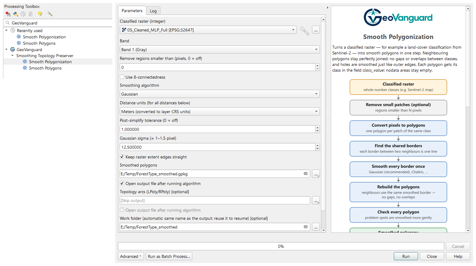
GeoVanguard: open-source QGIS plugin and Python package for large, complex RS/GIS data — topology-preserving smoothing of polygon maps and classified rasters
AI-powered satellite image super-resolution system that enhances Sentinel-2 imagery from 10m to 2.5m resolution with reliability and trust-aware predictions.
Using temporal data to correctly identify Cocoa, Rubber and Palm using Satellite data.
EY 2025 hackathon ML solution to predict city temperatures and aid urban design for cooler, sustainable environments.