echarts-map-demo
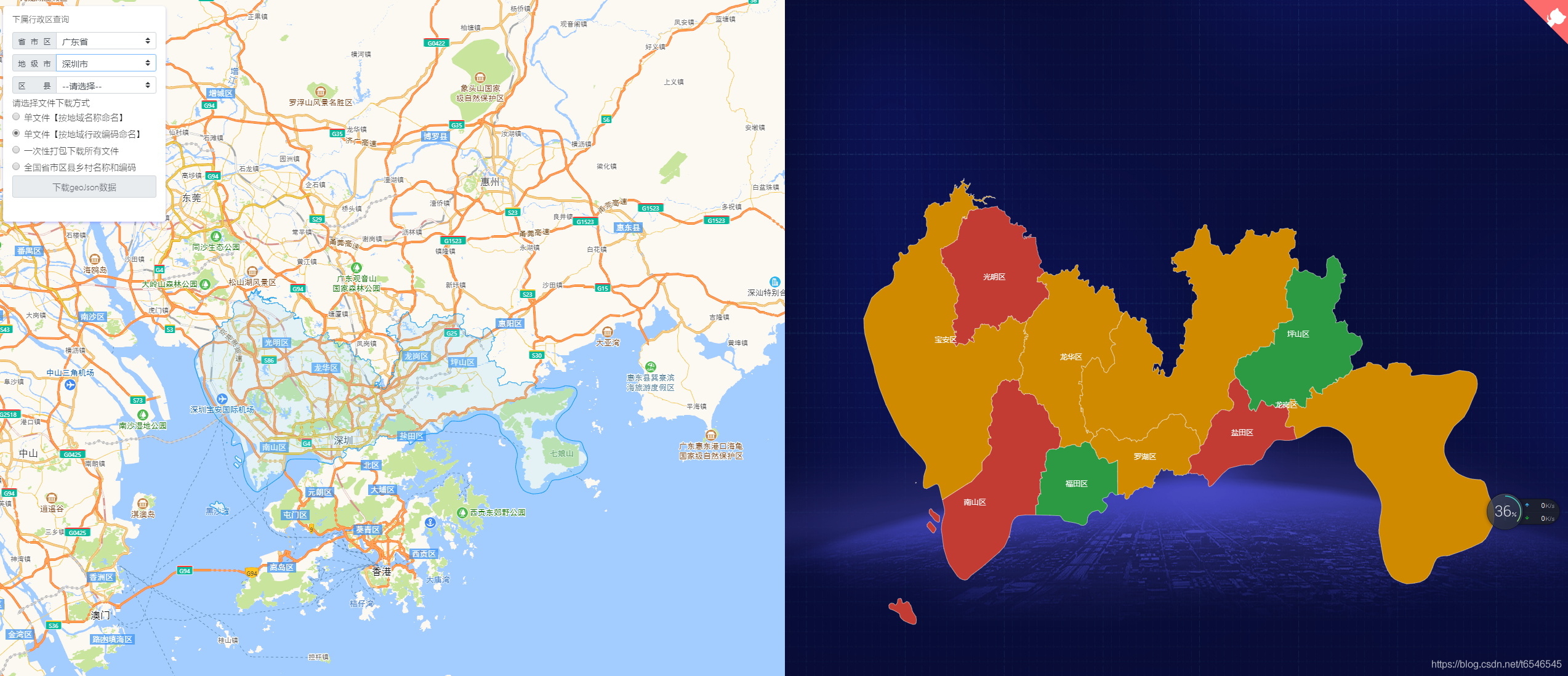
适用于echarts、QGIS等地图geoJson行政区划边界数据的实时获取与应用,json格式数据,全国省市区县多级联动下钻,真正意义的下钻至县级【附最新全国省市区县乡镇三级或四级城市geoJson文件下载,另可下载四级联动或五级(村级)行政编码对应关系】
- 2.2k
- Vue
- 3 wk ago
适用于echarts、QGIS等地图geoJson行政区划边界数据的实时获取与应用,json格式数据,全国省市区县多级联动下钻,真正意义的下钻至县级【附最新全国省市区县乡镇三级或四级城市geoJson文件下载,另可下载四级联动或五级(村级)行政编码对应关系】
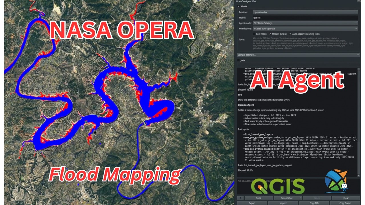
A multimodal AI agent for geospatial data analysis and interactive visualization
Java desktop application that allows the creation and editing of OGC Styled Layer Descriptors for use with GeoServer. See blog for more project information (https://robward-scisys.github.io).
A docker compose project to setup an OSM PostGIS database with automatic updates from OSM periodically
A QGIS plugin for creating timelapse animations from remote sensing imagery with Google Earth Engine
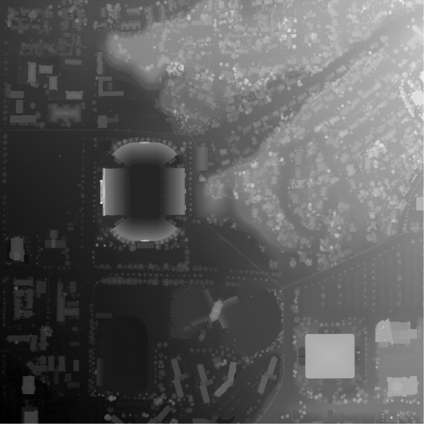
A tool for automatically generating 3D printable STLs from freely available lidar scan data.
Deep Learning Datasets Maker is a QGIS plugin to make datasets creation easier for raster and vector data.
A QGIS integration plugin for Kart repositories. Distributed version-control for geospatial and tabular data.
19 deterministic Claude Code skills for QGIS/PyQGIS spatial analysis, map creation, geoprocessing, and plugin development
:honeybee: PyQt5 desktop application for executing SQL queries against Esri file geodatabases featuring auto-completion with suggestions and syntax highlight
An awesome list that curates the best QGis frameworks, libraries, tools, plugins, tutorials, articles, resources and more.
Self-hosted, open source GIS portal: web maps, PostGIS data layers, forms, an app builder with dashboards, an offline field PWA, OGC APIs, and a QGIS plugin. PostGIS + MapLibre + Keycloak on Docker Compose.
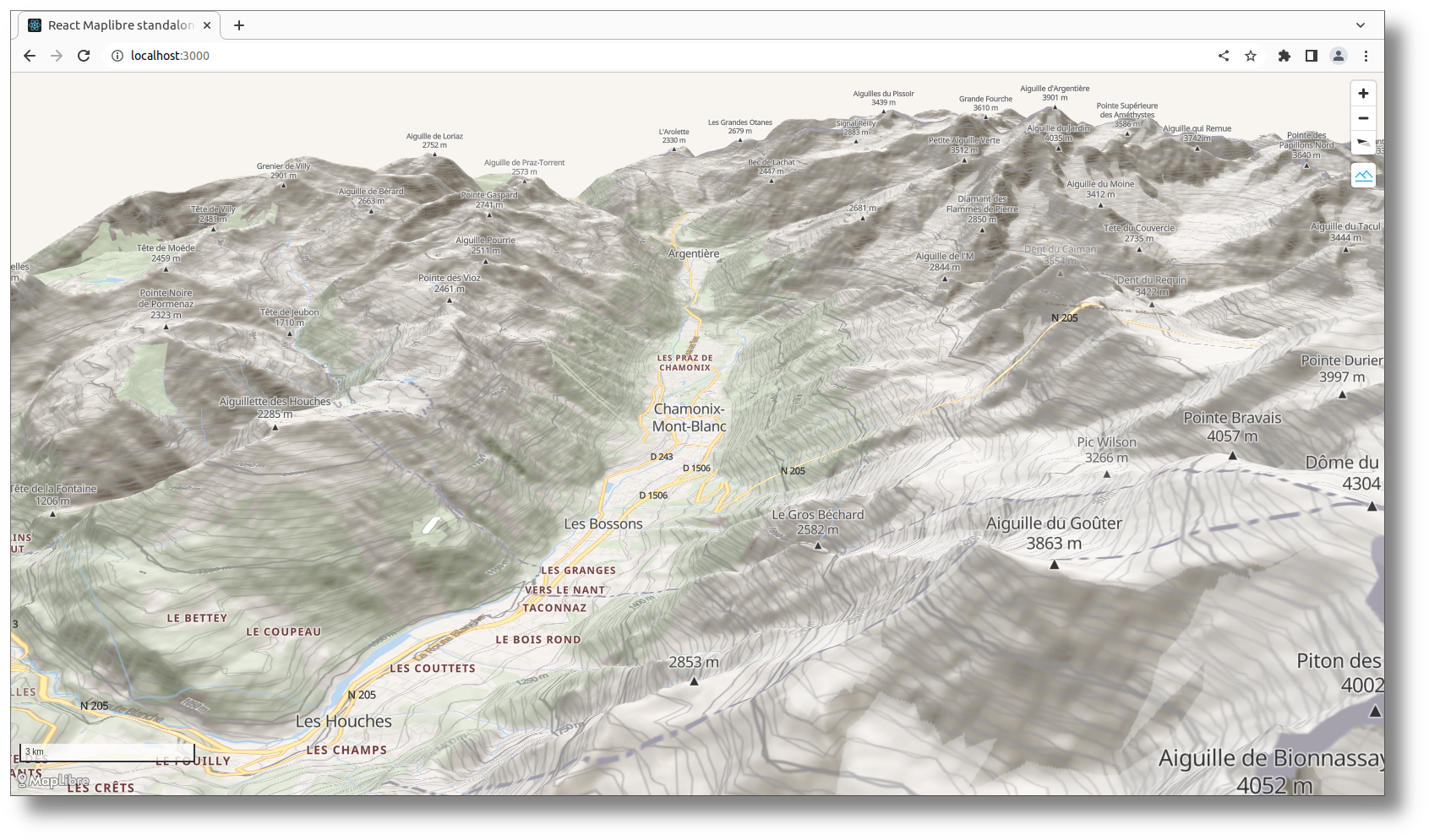
:mountain_snow: Sample React MapLibre visualization with standalone GIS datas
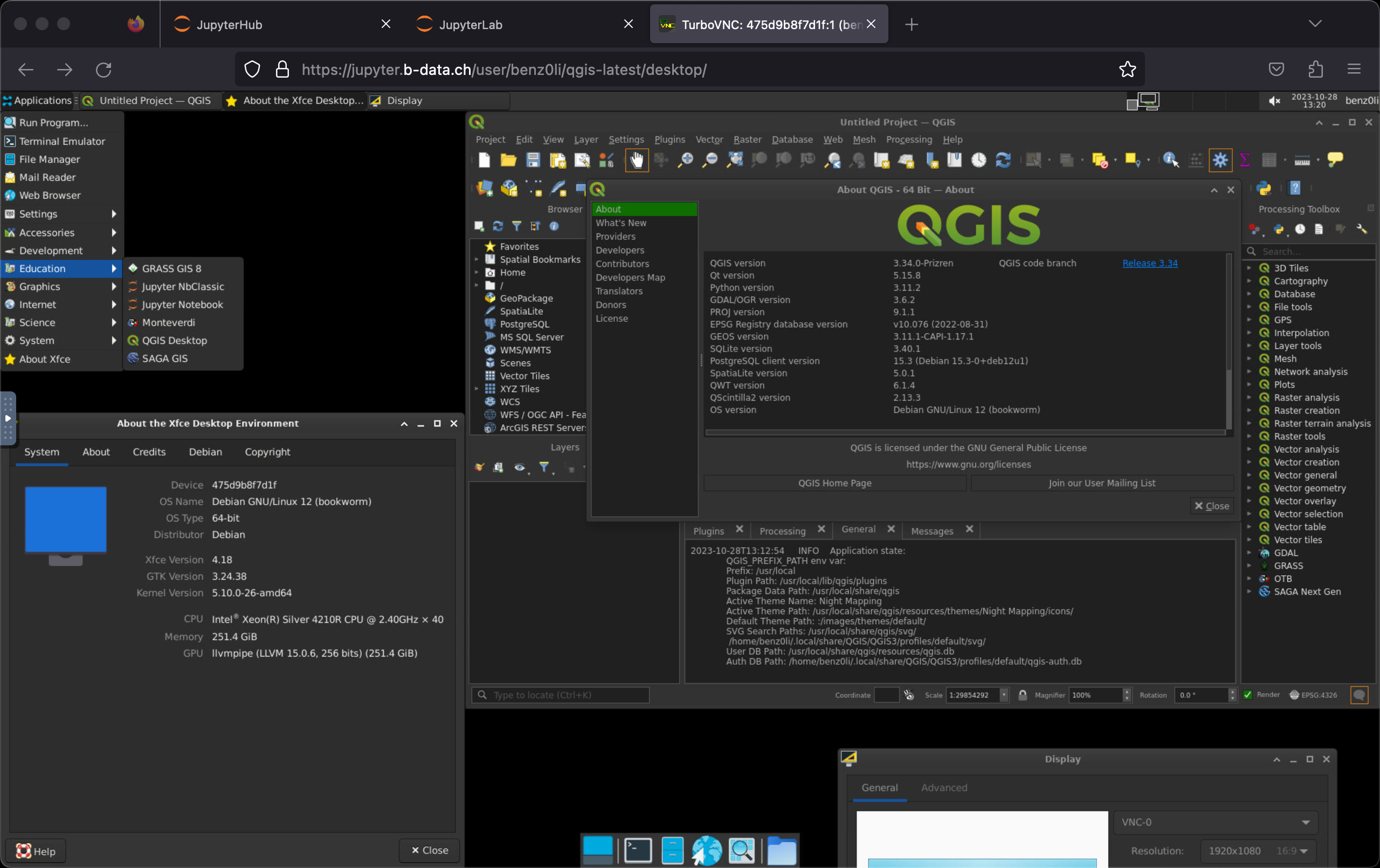
(GPU accelerated) Multi-arch (linux/amd64, linux/arm64/v8) JupyterLab QGIS docker images. Please submit Pull Requests to the GitLab repository. Mirror of
Convert Shapefile to the Network and find number of shortest paths
JavaScript module to style OpenLayers vector layers using SLD data, generate a map legend and/or embed symbols in a layer selector. Enables web map building directly from QGIS data/styles exports.
PyQGIS cookbook in markdown and Jupyter notebook formats
The library is useful for generating the SLD file for raster as well as vector datasets. The package can generate 4 types of styles, Simple style, Categorized style, Classified style, Raster style.
GIS_SKILL_v1.0包含基础底座(4) | 标准与规范(6) | 软件工具(13) | 开发与自动化(8) | 实战与避坑(5) | 现代GIS技术栈(7) | 自进化机制(1)
A browser IDE with a geology research agent built in: a Cline fork plus a 50-tool geological MCP server and a multi-layer specialist agent, packaged in Docker.
Open-source, config-driven pipeline for discovering, preprocessing, and patching Sentinel-2 L2A imagery into U-Net-ready training datasets for crop classification — hybrid rule-based + AI scene selection with ground-truth label integration.